Good morning.
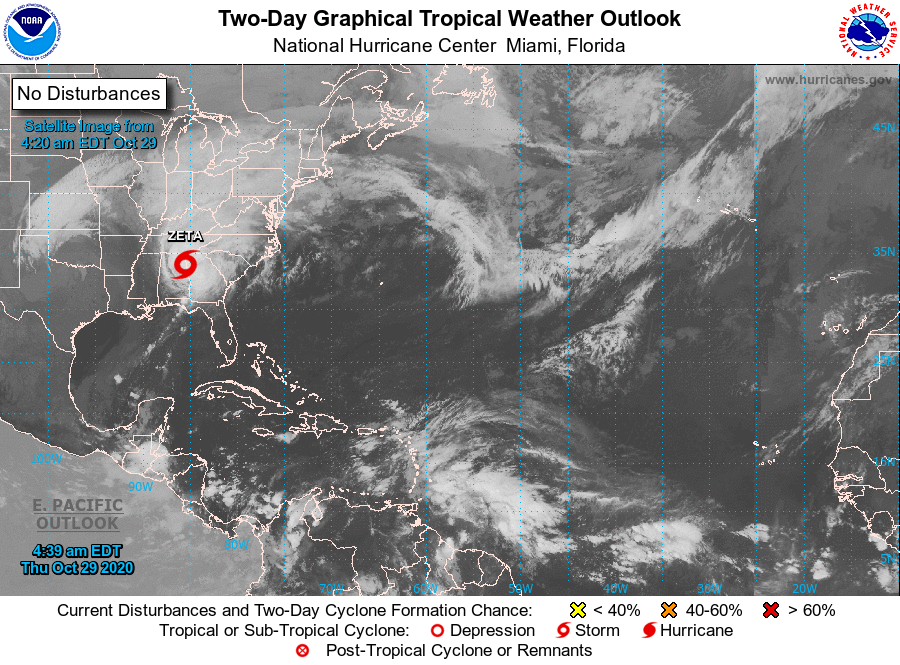
Hurricane Zeta made landfall along coastal Louisiana at 4:01 pm yesterday afternoon as a Cat 2 hurricane. Despite shear and cooler waters it did not weaken prior to landfall as was anticipated. A peak wind gust of 110 mph was recorded along the Mississippi Delta. Zeta passed directly over New Orleans with peak sustained winds recorded there in the 60s with gusts into the 80s.
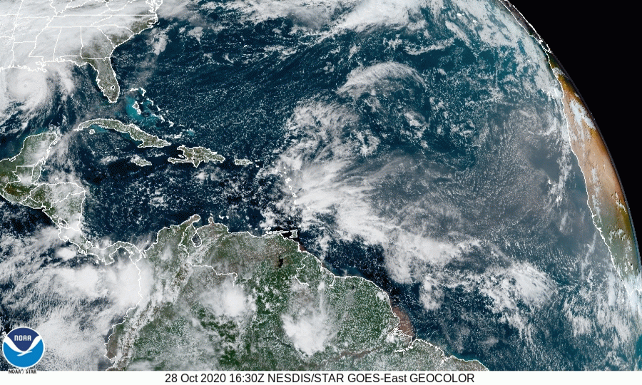
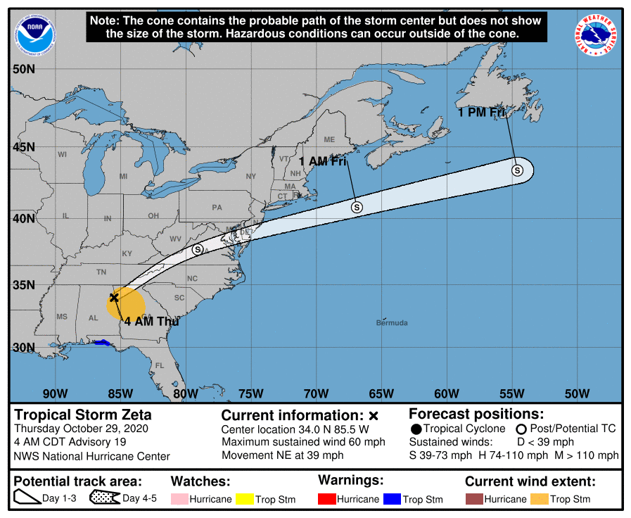
Below I've attached a GeoColor Satellite loop from approximately 1 pm to 9 pm yesterday capturing its landfall. It is currently moving NE at near 40 mph and it is expected to move even faster today moving off the Mid-Atlantic Coast this evening.
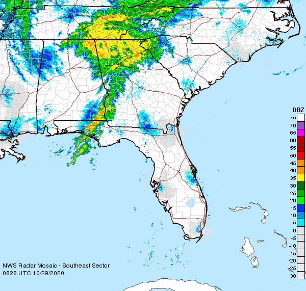
I've also attached a current SE US radar loop.
Until next time,
Matt.
Hurricane Zeta made landfall along coastal Louisiana at 4:01 pm yesterday afternoon as a Cat 2 hurricane. Despite shear and cooler waters it did not weaken prior to landfall as was anticipated. A peak wind gust of 110 mph was recorded along the Mississippi Delta. Zeta passed directly over New Orleans with peak sustained winds recorded there in the 60s with gusts into the 80s.
Below I've attached a GeoColor Satellite loop from approximately 1 pm to 9 pm yesterday capturing its landfall. It is currently moving NE at near 40 mph and it is expected to move even faster today moving off the Mid-Atlantic Coast this evening.
I've also attached a current SE US radar loop.
Until next time,
Matt.