Good morning.
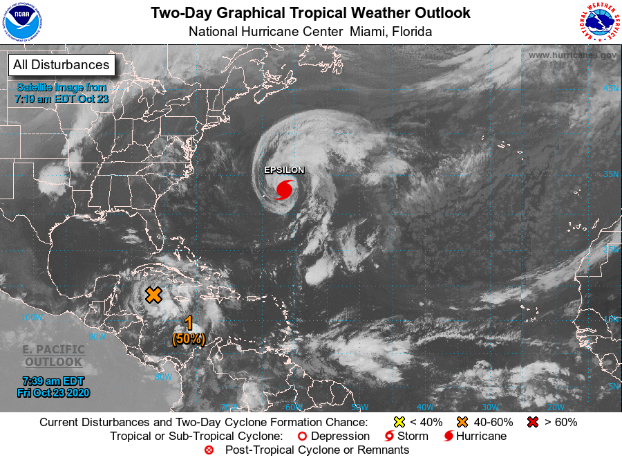
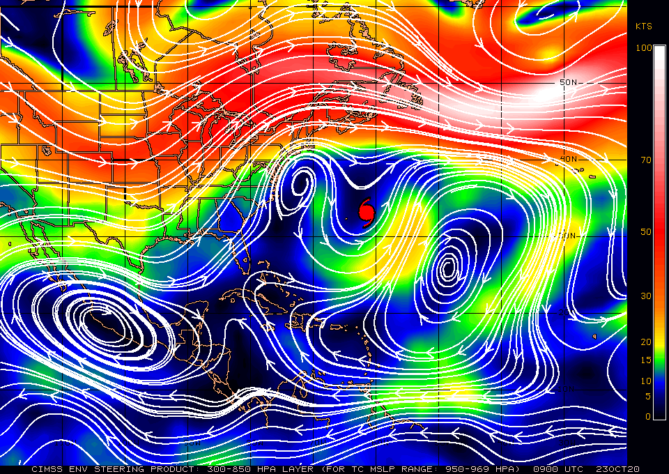
I'm writing about a new area of disturbed weather in the Central Caribbean. The NHC is currently giving it a 60% chance of development over the next 5 days. It is currently in an area of low shear however if you look at the wind shear analysis below you can see that it will encounter high shear as it approaches Western Cuba. If you look at the Surface map below it currently looks like it should pass through the Florida Straits toward the Central and Northern Bahamas. It could however pass close to South Florida and will likely bring more rain with tropical storm force winds possible. Due to the high shear over Florida it is unlikely to more than a tropical storm when it is near South Florida. We'll need to keep an eye on this one.
I'll write again tomorrow.
Matt.


