Good afternoon.
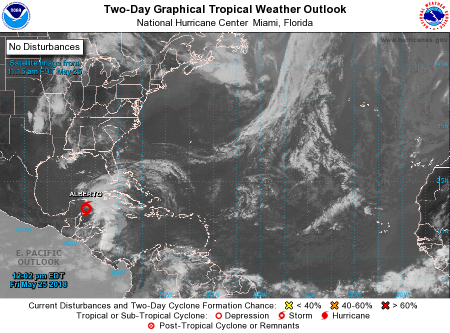
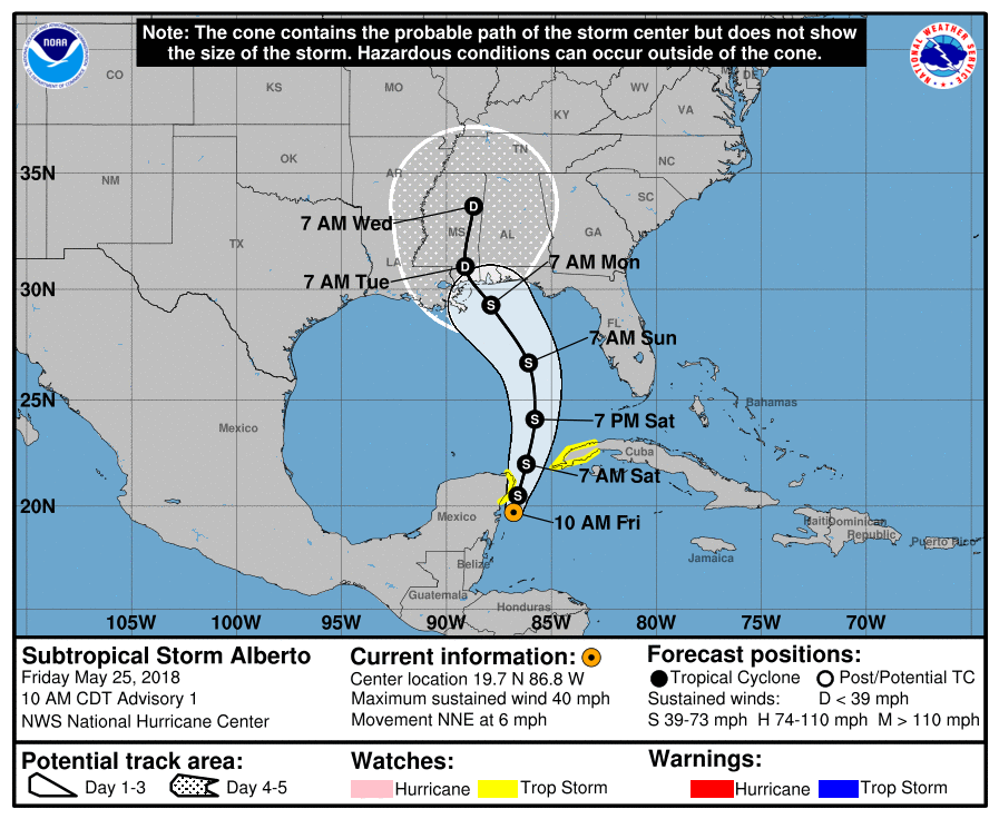
Sub-TS Alberto formed this am and at 10 am was moving NNE @ 6 mph with 40 mph peak winds. Alberto is undergoing significant shear as discussed in my 5-23-18 update, in fact that entire forecast still holds. It is currently headed for the northern Gulf Coast. My current estimate would be for landfall Monday along the Florida Panhandle near Pensacola however strengthening high pressure over the Atlantic late in the forecast period could lead to a shift to the west toward Alabama, Mississippi or Louisiana. I currently do not expect much more than a rainy Memorial Day Weekend for Southeast Florida, (what else is new).
Have a great weekend and try to stay dry.
I'll write further if things should change.
Matt.