Good evening.
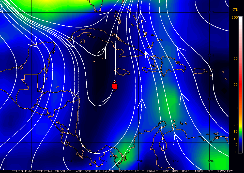
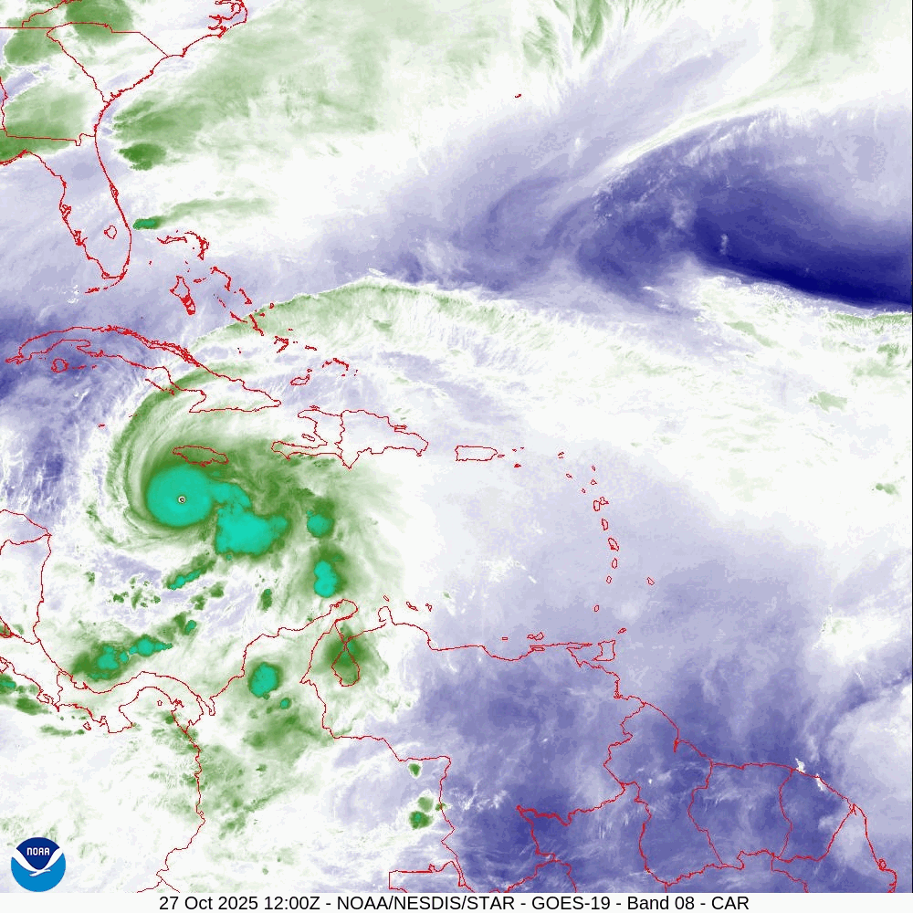
There have been a few interesting developments with Melissa since yesterday evening. The most significant is that it is currently located south and west of where the NHC had anticipated it to be at this time yesterday. The NHC's track still takes it right over Jamaica however there is a significant chance that if this more westerly motion persists that it may pass just to the west of the island. That would be very significant. H Melissa is currently a very intense yet compact storm with an eye of 10 nm wide. Hurricane force winds extend only 20-25 miles from the center and the eye wall extends up to 10 miles from the center, (Where the Cat 4 and 5 winds extend). If it should pass 20 miles off shore Jamaica could be spared from the worst of its winds. Its slow speed however will lead to extensive flooding, landslides and other serious damaging effects.
My current track takes it just to the west of Jamaica about 10 miles offshore. The NHC is currently not forecasting any further western movement, if it moves even a little more to the west it could make a big difference. Every mile to the west could be very significant with regards to wind damage. I would love to see it pass >20 west of the island. It should start to turn to the NNE tomorrow morning.
I have my fingers crossed and an hoping that this short term trend continues.
Until next time,
Matt.