Good morning.
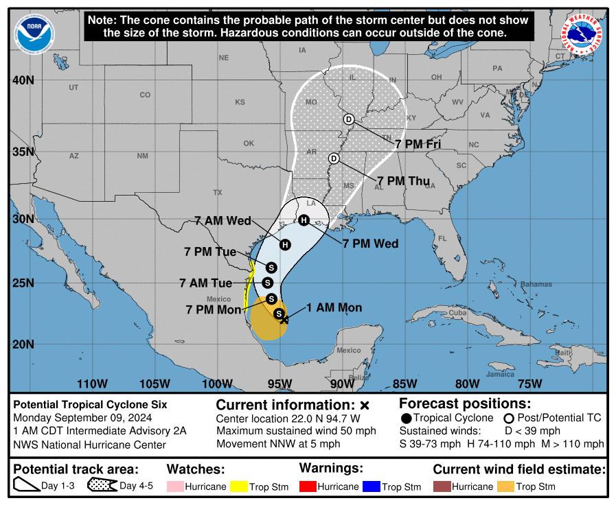
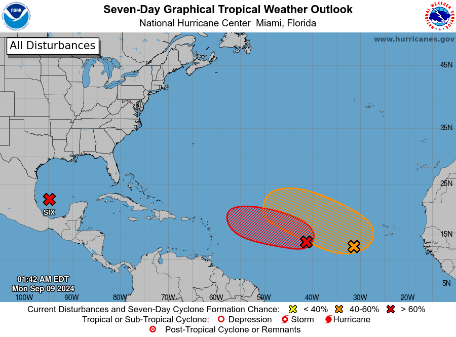
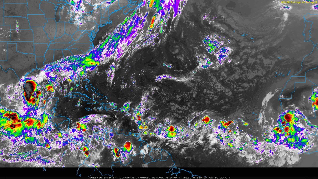
Another quick update. Tropical depression #6 will probably form today in the SW Gulf of Mexico. This is not unexpected, see Sea Surface Temps, bottom diagram. Nature always finds the heat.
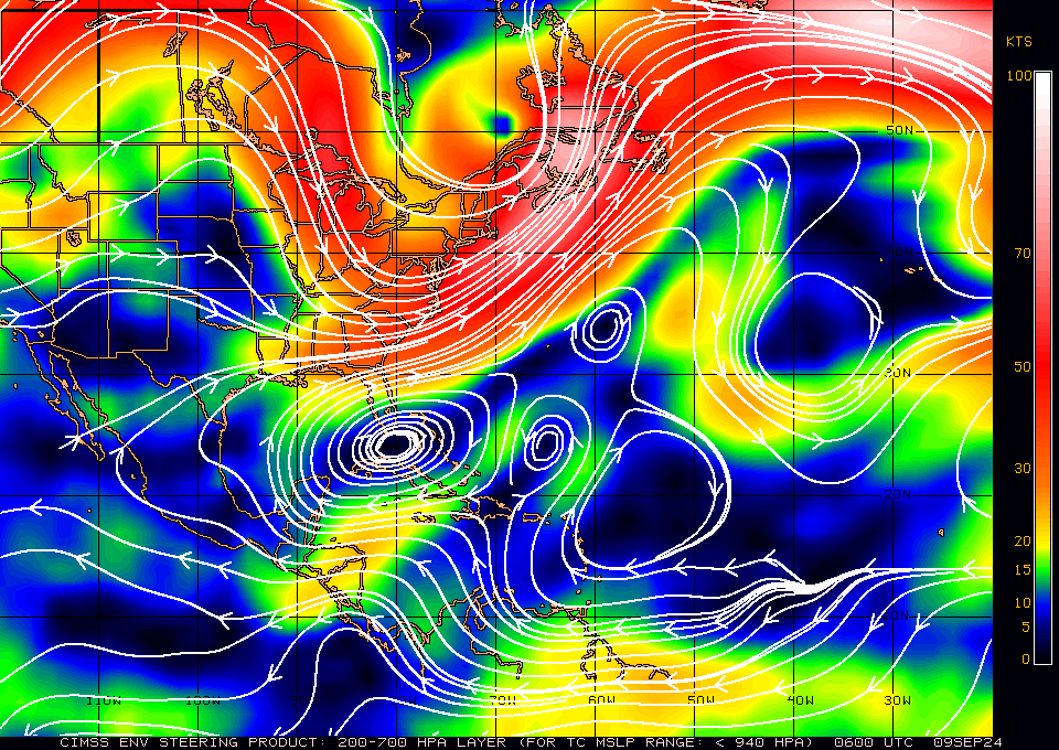
A stalled frontal boundary across northern Florida will drift into Central Florida today which will increase rain chances across South Florida for the next several days until it drift back northward. High pressure over Florida has moved southward and is now over South Florida and the Florida Straits. This will continue to protect Florida.
There are a couple of other waves out there however they should turn north, east of Florida.
Until next tme,
Matt.


