Good morning.
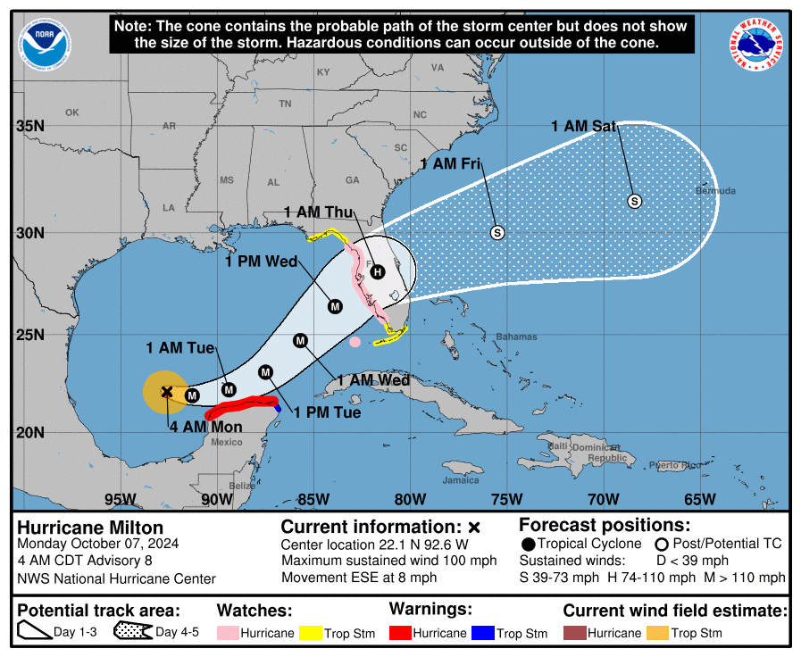
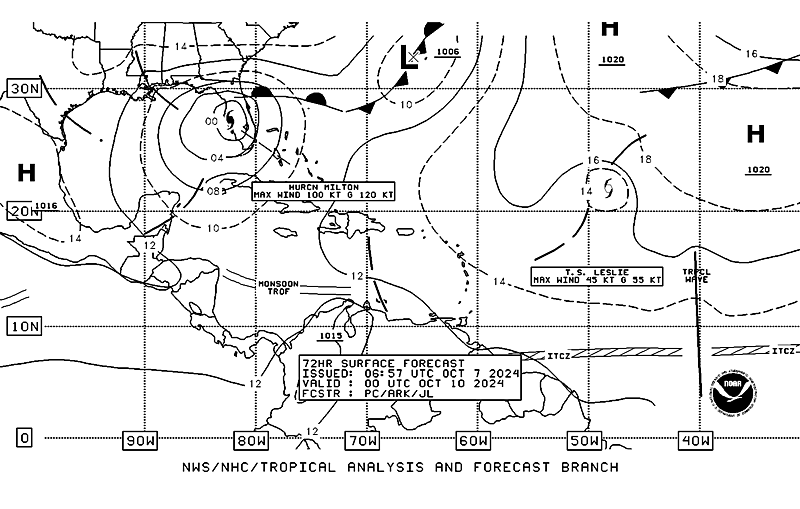
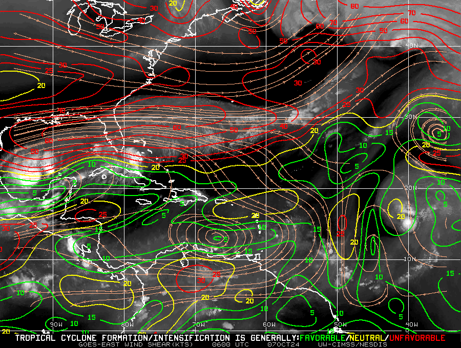
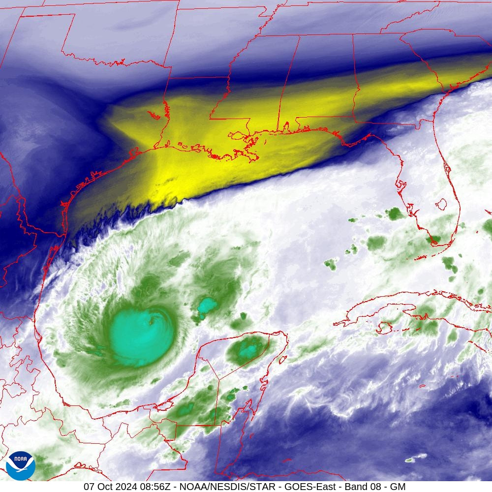
Milton has continued to intensify overnight. If you look at the water vapor image below you will notice a few things. First is that the cold front has moved further south and now spans across North Florida. Next notice that Milton has not moved very much since yesterday. Lastly notice that it has moved ESE and is well south of where the NHC had forecast it to be at this time. It remains in an area of low shear though notice that the shear has moved south as well.
The NHC's track hasn't changed much. Based on its current position I suspect that a more southerly track will be more likely and my current track takes it mid way between Tampa and Ft Myers, currently centered near Oaks Club, FL, a little north of where Ian made landfall. The NHC is still forecasting it to be a Cat 3 at landfall. The intensity forecast will be difficult with this one due to the increasing shear. In general the further south it goes the potentially stronger it may me, as shear will steadily increase the further north it gets. Timing will also be a factor. The slower if goes the potentially weaker it may become due to a longer time in the high shear environment. I currently suspect it will arrive a little later that currently forecast due to how slow it is moving now.
Where it is tomorrow night will be key.
I'll Be watching it closely.
Until next time,
Matt.


