,Good morning.
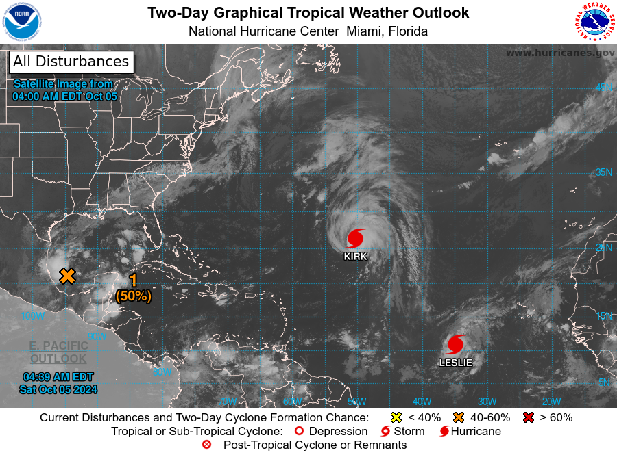
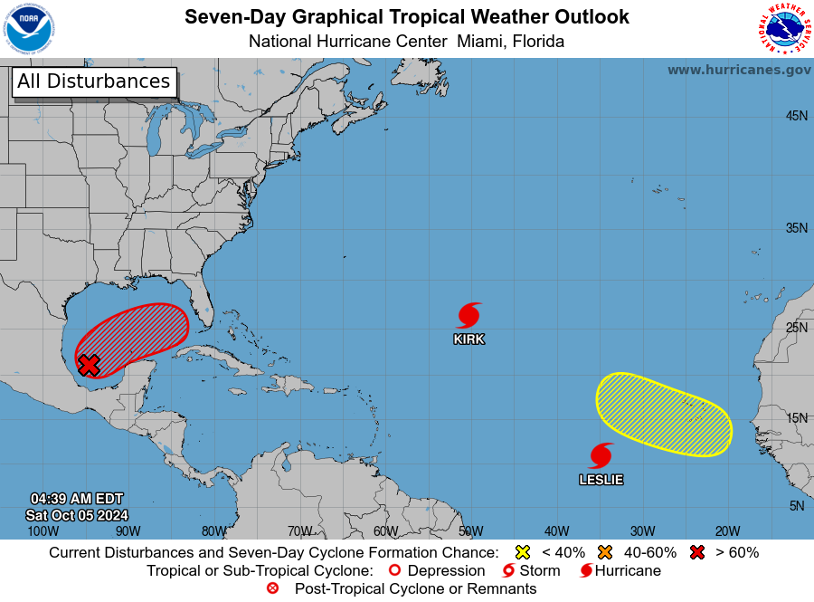
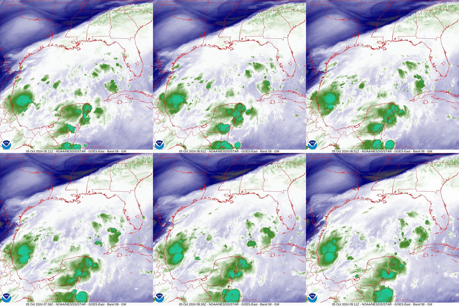
I am writing about the area of disturbed weather that I last wrote about on Tuesday, 10/1/24. At that time the NHC was watching a broad area of shower activity in the SW caribbean which was slowly moving norhtward and they had their watch area covering the entire Gulf of Mexico. Since then an area of low pressure has formed however it is well west of where they had anticipated, in the far southwestern Gulf of Mexico right along the Mexican coast. See satellite and water vapor images below. Wind shear remains extremely high across the Gulf, see Wind Shear Analysis below, and it is unlikely that this will become a strong system. Then NHC however is giving it a 80% chance of tropical development within the next 7 days. The most likely scenario is that we will see a Tropical Storm making landfall along the west central Florida coast late Wednesday or Thursday. The timing currently is highly variable as it has not formed yet.
The most important diagram which I have included is the 72 hour forecasted Surface Map. An old frontal boundary and stationary front is forecast to cross Florida in the region of Lake Okeechobee. This will be the guiding force for this system. Where exactly it is on Wednesday will predict just where the center of the system makes landfall. That said as only a tropical storm is being forecast, weather is not usually focused in those systems and a fairly broad area will receive a lot of rain and modest winds. Just how much, its too early to say. Central and South Florida should see the most of it. With a stalled front in this region intermittent waves of moisture and rain will pass over these same areas for the next several days until after the system moves off into the Atlantic.
Elsewhere in the Atlantic, all of the systems out there continue to be forecast to move out to sea.
I am not overly concerned at this time but will be watching it closely.
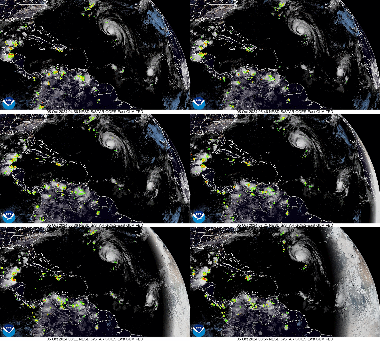
I have included a current visible satellite loop where you can all of the current lightning in the pre dawn hours. Notice Lake Maricaibo, the lightning capital of the world, along northwestern Venezuela.
Until next time,
Matt.


