Good morning.
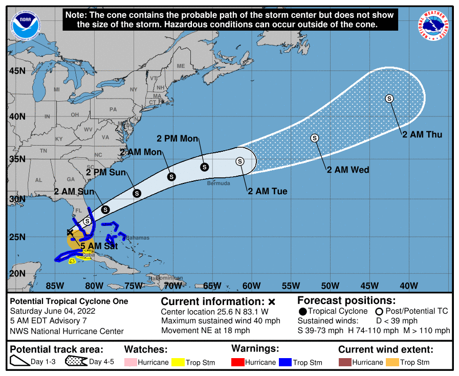
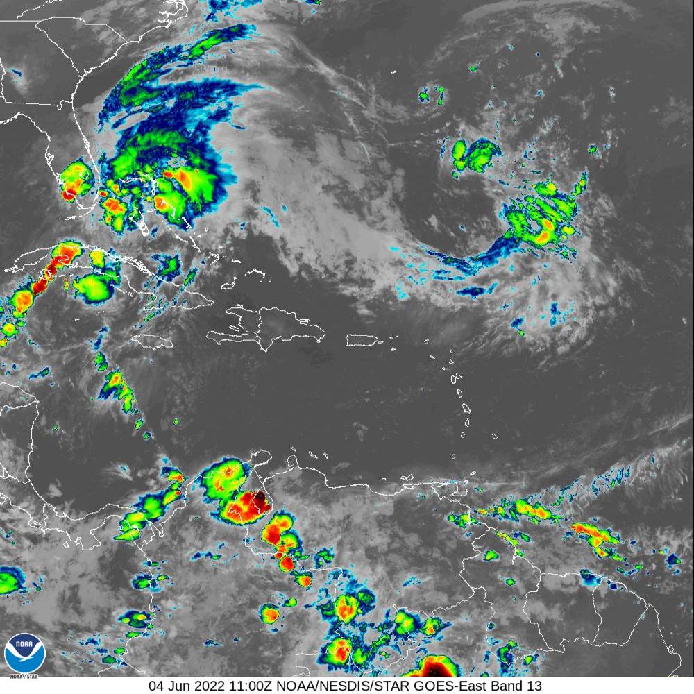
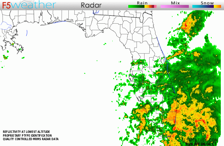
Potential Tropical Cyclone #1 remains a potential. It has not developed into a Depression nor a Tropical Storm and it probably won't until after it crosses Florida. Most of its associated weather has already moved east of the state. The NHC has found that it continues to be a broad trough of low pressure with peak winds recorded in the 30s. If you look at the radar below you can see a low pressure circulation center approaching the Fort Myers area. The NHC is currently expecting a new low pressure center to form east of the Central Florida Peninsula and effectively "jump" into the Atlantic. The continuous rain of last night is over, today we'll see improving conditions with bands of rain with further improvement in conditions by early afternoon.
Rainfall totals so far are in the 4-8" range and should end up in the 5-10" range when the event ends.
Florida should be fine and end up with a significant recharge of our freshwater reservoirs including Lake Okeechobee and we'll all be better off because of this.
Until next time,
Matt.