Good morning.
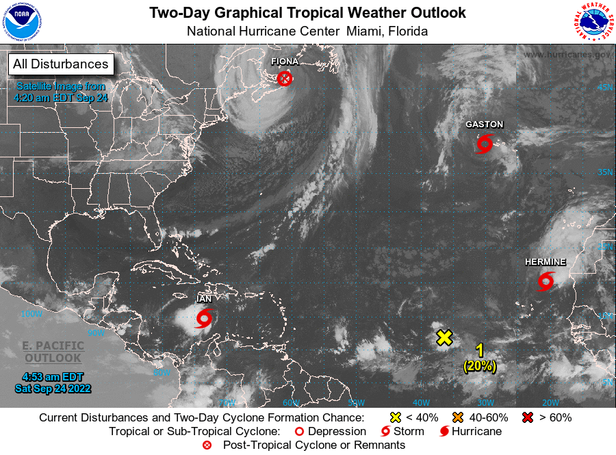
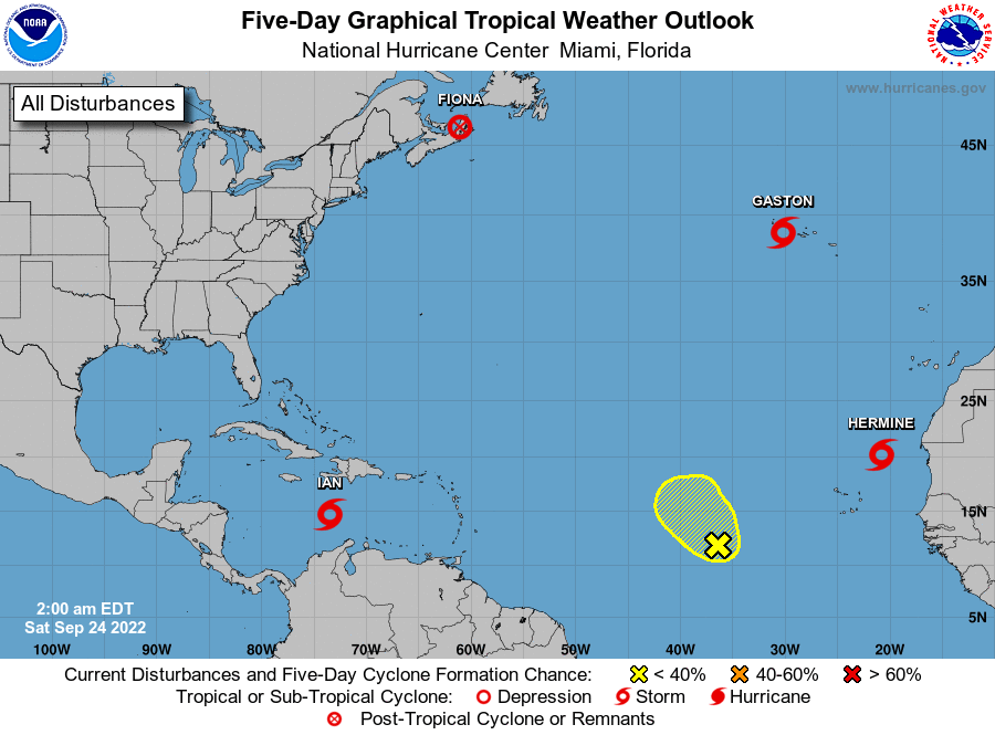
If you look at the satellite image below you will see as expected things are getting active in the tropics. Overnight TS Hermine formed, but not where we expected, along the west coast of Africa, it is moving north and already showing signs of weakening. Ian, which was beaten out in its naming by just a few hours is the one we'll need to watch.
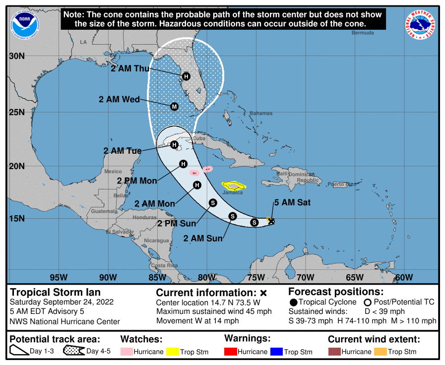
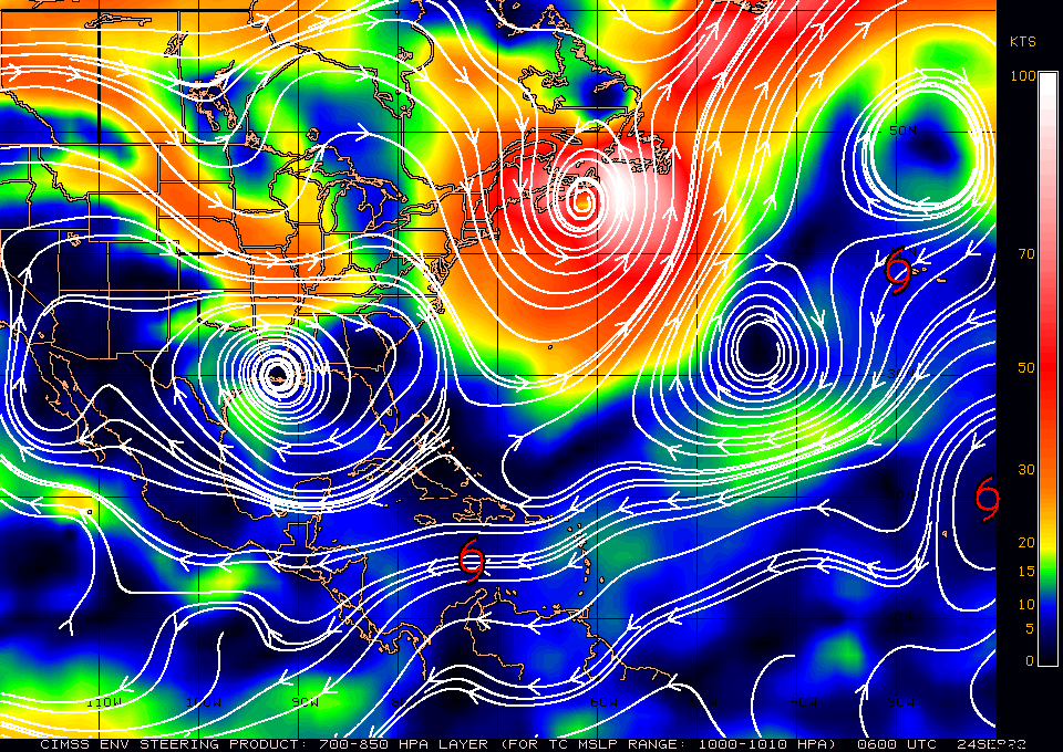
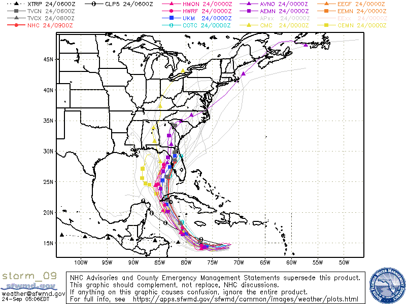
See graphics below. It is currently moving due west. If you look at the forecast 5 day surface map you can see why the current NHC forecast and the models have shifted north and are now in agreement with me that the Tampa Bay area is currently the area at greatest risk. This is where the stationary front across Florida is forecast to be when Ian approaches.
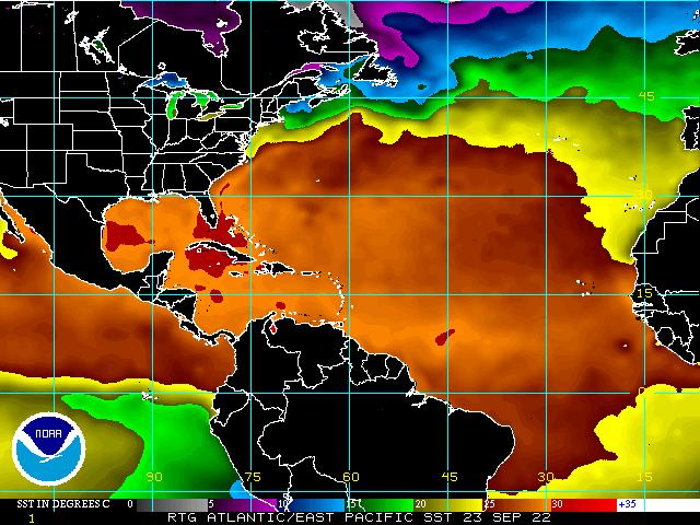
Extremely warm waters with high heat content in the NW Caribbean Sea and SW Gulf of Mexico could leads to rapid intensification as it approaches Western Cuba. There is still dry air in the Gulf of Mexico and high shear in the northern Gulf which will hopefully slow or dampen development as it approaches Florida. If it gets to at least 83 degrees west the impacts on SE Florida should be minimal. We'll know more as things develop however the further west it goes the less SE Florida should see. The West Coast will be a different story. A lot will depend on the size of the storm, the size of its eye as it approaches and its intensity at landfall. I'll be writing at least daily (more frequently as it approaches) with additional information and what exactly we can expect for different areas as Ian develops. It is currently forecast to affect Florida on Wednesday and Thursday.
The West Coast of Florida from Ft Myers to the Big Bend should be preparing for a possible major hurricane, most likely a Cat 3 or 4, hopefully a 2.
Until next time,
Matt.
