Good morning.
All is quiet on the Eastern Front.
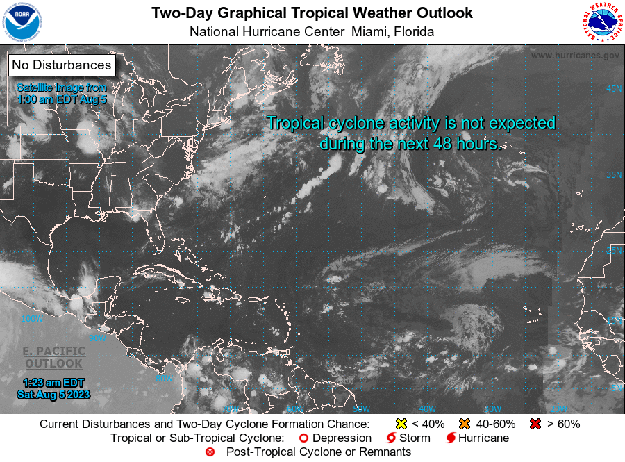
I am writing to explain the unusual weather which we have been having so far this summer. There are two major drivers of our weather pattern this summer. First is an El Nino, with above average water temperatures in the eastern Pacific since early March. El Ninos usually last 6-18 month, average 12, and the NHC is giving the current one a 90% chance of persisting through this coming winter. It may even persist into next summer. El Nino's are associated with increased shear across the Caribbean which we have been seeing this summer, though currently the shear has subsided some. The other main driver are the extensive fires in Canada. This has changed the weather pattern over Florida. Normally from early-mid July through August a strong Bermuda High tends to prevail with a predominant easterly wind flow. For the past 6+ weeks the Bermuda High has been displaced eastward by high pressure over the south central and south western US and the Gulf of Mexico due to this hot dry airmass. It has been blocked by the Appalachians from moving eastward. If you look at the surface map below, we have been roughly in the same pattern all summer, you can see that we have a light NW flow aloft coming down straight from Canada. This has been pumping this warm air towards us with little flow from over the cooling waters. Sea breezes along the coasts of course still occur which has been producing our showers thankfully.
Fortunately things always change. As fall approaches we should start to see cold fronts returning, ? late August/September. When that occurs we should get back to more normal weather patterns. Currently high pressure and dry air over the Gulf of Mexico have shut it down with regards to tropical development, however if you look at the sea surface temperature chart below, you can see that we have very hot water in the Gulf. I anticipate that once the dry air is displaced by frontal systems in the fall we will see at least 1-2 storms there late in the season, ? late September/October/November?
You will also notice high Heat Content (water temperatures to depth, 200') in the Caribbean. After the El Nino ends, that will be picked up by something too.
Wishing a good summer to all.
Until next time,
Matt.
All is quiet on the Eastern Front.
I am writing to explain the unusual weather which we have been having so far this summer. There are two major drivers of our weather pattern this summer. First is an El Nino, with above average water temperatures in the eastern Pacific since early March. El Ninos usually last 6-18 month, average 12, and the NHC is giving the current one a 90% chance of persisting through this coming winter. It may even persist into next summer. El Nino's are associated with increased shear across the Caribbean which we have been seeing this summer, though currently the shear has subsided some. The other main driver are the extensive fires in Canada. This has changed the weather pattern over Florida. Normally from early-mid July through August a strong Bermuda High tends to prevail with a predominant easterly wind flow. For the past 6+ weeks the Bermuda High has been displaced eastward by high pressure over the south central and south western US and the Gulf of Mexico due to this hot dry airmass. It has been blocked by the Appalachians from moving eastward. If you look at the surface map below, we have been roughly in the same pattern all summer, you can see that we have a light NW flow aloft coming down straight from Canada. This has been pumping this warm air towards us with little flow from over the cooling waters. Sea breezes along the coasts of course still occur which has been producing our showers thankfully.
Fortunately things always change. As fall approaches we should start to see cold fronts returning, ? late August/September. When that occurs we should get back to more normal weather patterns. Currently high pressure and dry air over the Gulf of Mexico have shut it down with regards to tropical development, however if you look at the sea surface temperature chart below, you can see that we have very hot water in the Gulf. I anticipate that once the dry air is displaced by frontal systems in the fall we will see at least 1-2 storms there late in the season, ? late September/October/November?
You will also notice high Heat Content (water temperatures to depth, 200') in the Caribbean. After the El Nino ends, that will be picked up by something too.
Wishing a good summer to all.
Until next time,
Matt.