Good evening.
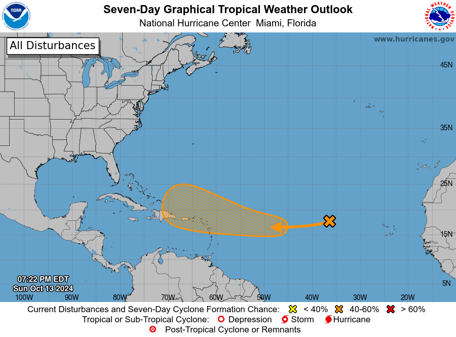
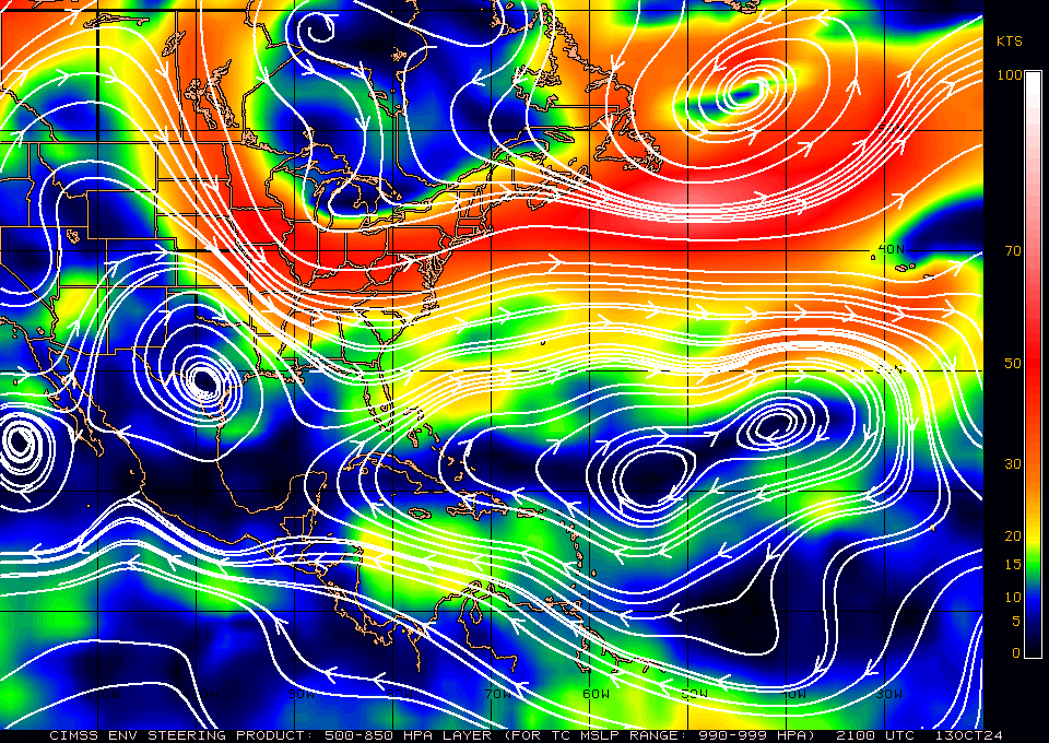
Just a quick update. The NHC is currently tracking a weak disturbance in the Eastern Atlantic and is giving a 40% chance of tropical development over the next 7 days. It is unlikely to affect the US. If you look at the surface map below you will see high pressure over the Central Atlantic as well as over the Gulf of Mexico. In addition if you look at the wind shear analysis below you will see strong WSW winds/ shear, over Florida. It will likely turn away from the US as it approaches the Bahamas. I do not expect to need to write further about this system.
If things should change, I'll let you know.
FYI even most of the models are in agreement with me on this.
Until next time,
Matt.


