Good morning.
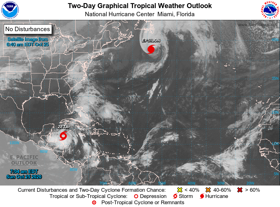
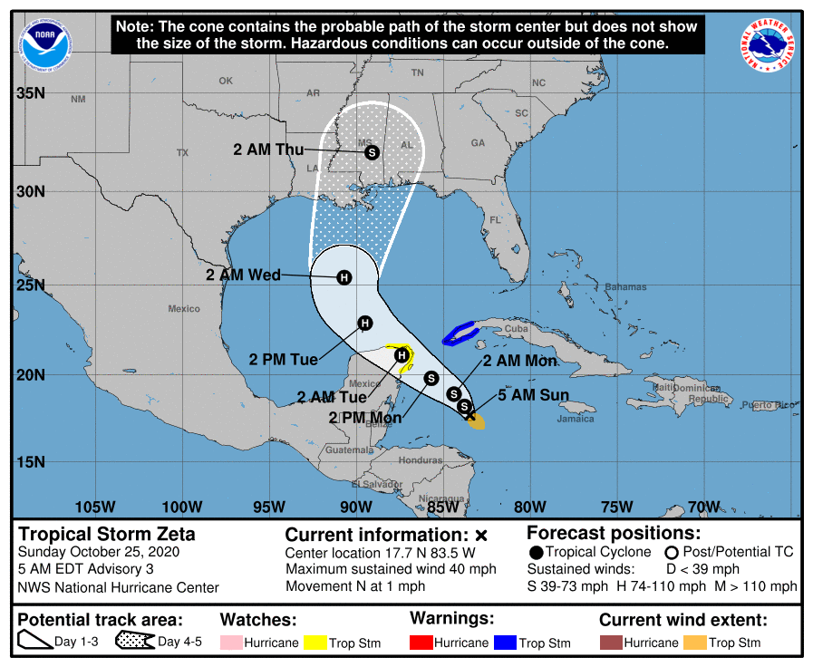
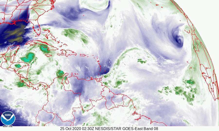
TS Zeta formed early this morning well south and west of where the NHC had forecast it to. Though the NHC says that it is currently moving N at 1 mph, if you look at the water vapor loop below you can see that it has been moving slowly SW over night. This has lead to a further westward shift in the models. It is expected to begin moving slowly NW later today. An approaching cold front over the Central US is forecast to cause high pressure over Florida to move westward drawing Zeta towards the Northern Gulf Coast.
Due to high shear and cooler waters over the northern Gulf of Mexico it is currently forecast to make landfall on late Wednesday or early Thursday as a tropical storm.
I'll write again tomorrow, sooner if things should change. The risk to South Florida remains low.
Until next time,
Matt.