Good morning.
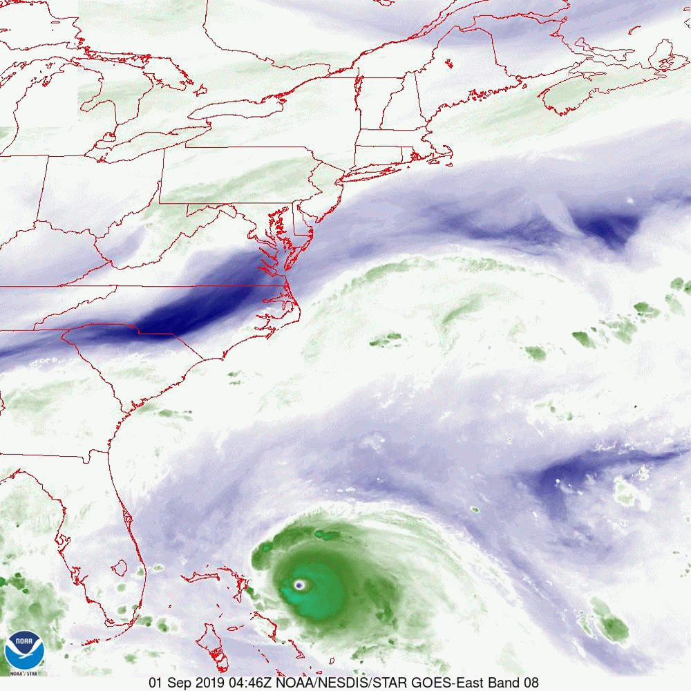
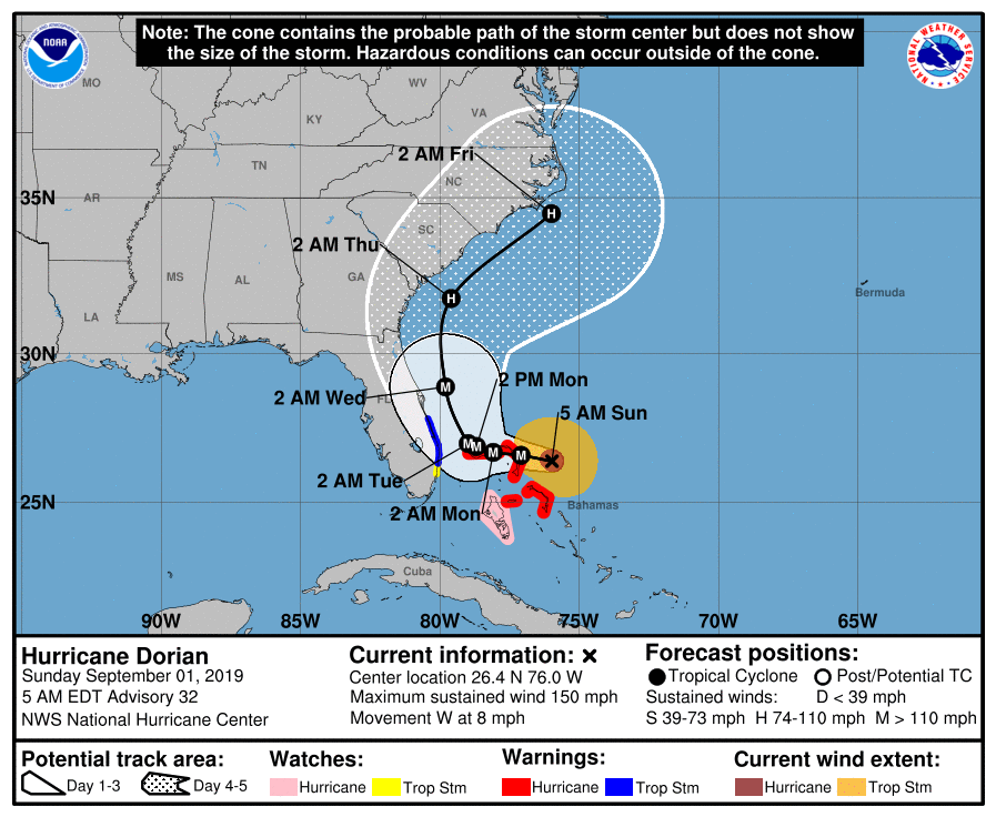
With regards to Dorian in looking at the Water Vapor Loop above you can see it slowly approaching the Abaco Islands in the Bahamas. It continues along the line towards Jupiter. Compared to yesterday’s forecast track it is slightly west of where the NHC had expected it to be at this time. As a result the NHC’s track has shifted slightly west and a Tropical Storm Warning has been issued for Palm Beach County and north. Dorian remains an intense though compact storm with Cat 4 winds extending just 10 miles and hurricane force winds extending 20-25 miles from the center. This will be a devastating event for the Abacos and Grand Bahama. If you zoom in on the stalled frontal boundary you will see it spanning from roughly Tampa Bay to Cape Canaveral.
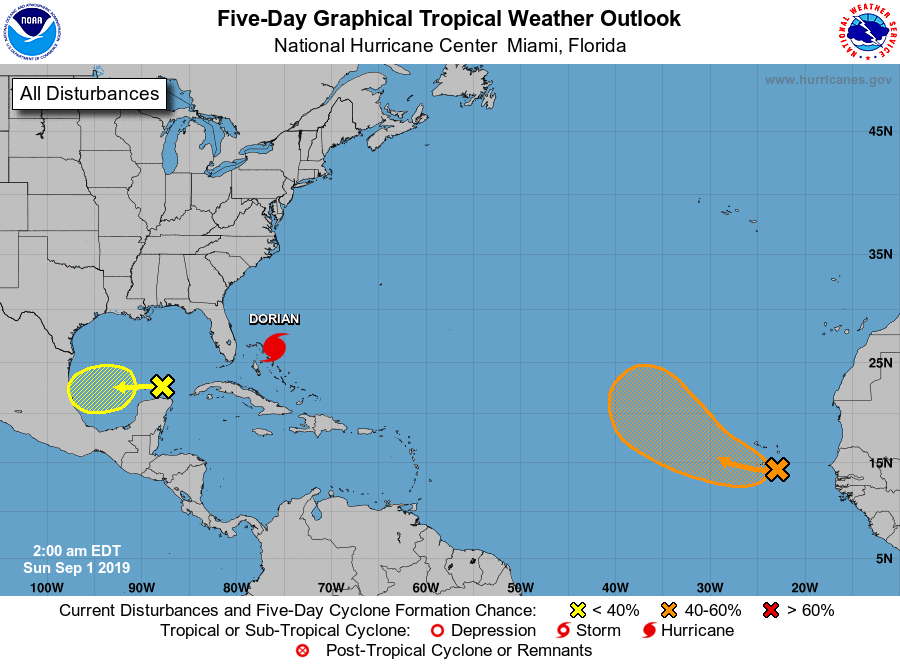
Dorian is expected to stall tomorrow over the Bahamas before starting to move north on Tuesday towards the stationary front. After it passes the Abacos and stalls it will encounter shallow water, this will lead to gradual weakening. In general hurricanes draw energy from the top 200 feet of the water column. If they stall over shallow water they can use up the heat content of the water and cool the water to less than 80°. Once they start to move again this effect ends. Once it starts moving north it will encounter increasing shear (see bottom diagram,Wind Shear Analysis). This will lead to further weakening.
I’ll write again this evening. The real key to watch for is that it stalls. In general before making any drastic change in direction hurricanes usually need to stop, or at least slow way down.
Matt.
With regards to Dorian in looking at the Water Vapor Loop above you can see it slowly approaching the Abaco Islands in the Bahamas. It continues along the line towards Jupiter. Compared to yesterday’s forecast track it is slightly west of where the NHC had expected it to be at this time. As a result the NHC’s track has shifted slightly west and a Tropical Storm Warning has been issued for Palm Beach County and north. Dorian remains an intense though compact storm with Cat 4 winds extending just 10 miles and hurricane force winds extending 20-25 miles from the center. This will be a devastating event for the Abacos and Grand Bahama. If you zoom in on the stalled frontal boundary you will see it spanning from roughly Tampa Bay to Cape Canaveral.
Dorian is expected to stall tomorrow over the Bahamas before starting to move north on Tuesday towards the stationary front. After it passes the Abacos and stalls it will encounter shallow water, this will lead to gradual weakening. In general hurricanes draw energy from the top 200 feet of the water column. If they stall over shallow water they can use up the heat content of the water and cool the water to less than 80°. Once they start to move again this effect ends. Once it starts moving north it will encounter increasing shear (see bottom diagram,Wind Shear Analysis). This will lead to further weakening.
I’ll write again this evening. The real key to watch for is that it stalls. In general before making any drastic change in direction hurricanes usually need to stop, or at least slow way down.
Matt.
 |  |