Good evening.
Just a quick update on the tropics.
So far so good.
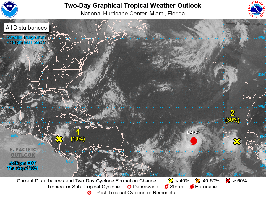
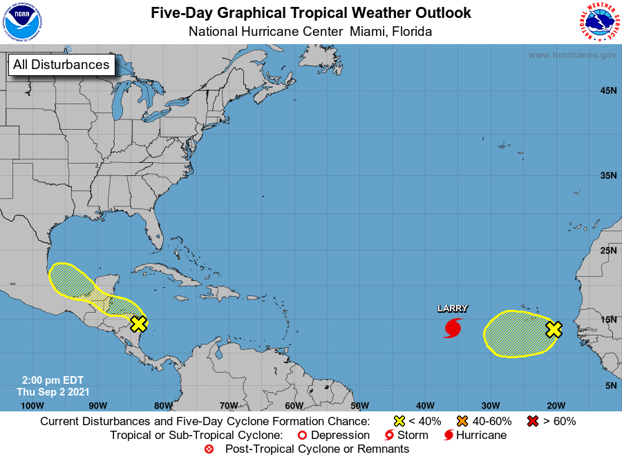
There are a few systems out there but currently none pose a threat to Florida. Hurricane Larry is forecast to move out to sea and potentially threaten Bermuda. The system behind it should follow in its wake on a similar course. The area which we'll need to watch is currently over central tropical Africa, the large red blob on the IR of Africa. It should emerge off the coast in around 5 days.
If you look at the surface map below you can see that upper level winds over Hispaniola are moving NNE and are currently protecting the state of Florida from systems in the Atlantic. (This is good.)
If you look at the SAL below you can see that the prior Saharan dust and dry air has been eroded significantly. Larry should take out most of the rest of it. The protection that we had for most of July and August is disappearing.
Lastly if you look at the water vapor loop below you can see a large upper level low racing eastward being pushed along by an advancing front moving along the SE US. The associated upper level westerly and southwesterly flow should protect the state of Florida for the next several days. Hopefully the trough in the western Atlantic will persist and steer systems away form the US.
I am going to be away for the next several days and Cassie will be posting if needed. Possibly myself if I have signal.
Until next time,
Matt.