Good morning.
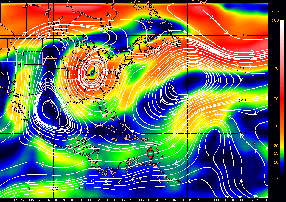
In viewing the water vapor loop this am ( http://www.ssd.noaa.gov/goes/east/tatl/flash-wv.html ) you'll notice a few things. First is that Matthew made a WNW move over night and is currently at 14.0 N and 64.7 W and is moving W at 16 mph. It is undergoing SW shear from the upper level low north of Hispaniola and being pushed by the upper level low in the Central Atlantic moving SE. You'll also see the frontal trough digging into North - Central Florida.
On the surface map below you will see high pressure building over Florida. All of these features point to a path to our east and as you can see the models are starting to shift to the east.. This all bodes well for South Florida. It is still early and until it makes its NW-N move on Saturday we won't know for sure however these patterns are encouraging
Until later, Matt.

