Good morning.
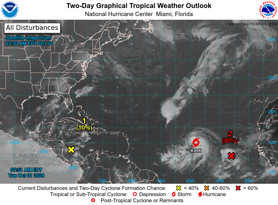
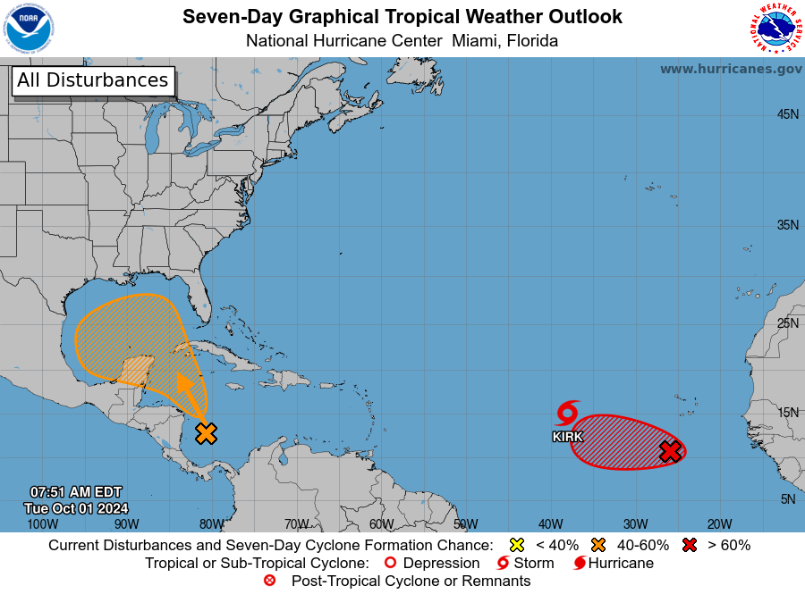
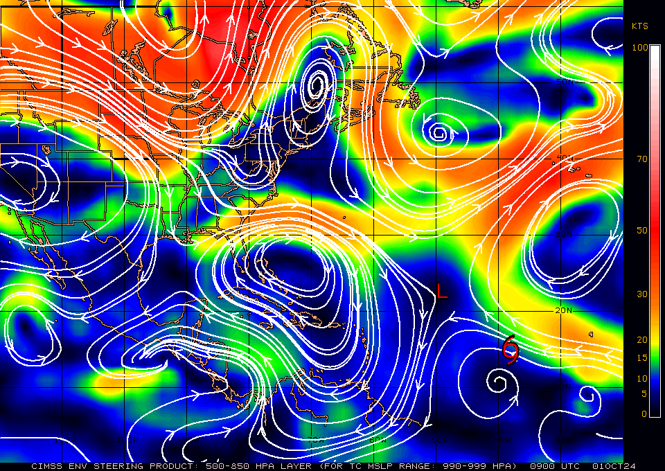
There are a few systems out there, though only one poses any threat to the US. All of the current Atlantic systems should all move out to sea and miss the US. A very weak disturbance in the SW Caribbean the NHC is giving a 40% chance of development over the next 7 days. A low pressure center currently does not exist though it is over very warm water. If it makes it into the Gulf of Mexico it will encounter high shear and is unlikely to become a strong system. Its greatest threat would be to to potentially add to the historic rainfall from Helene in North Carolina. Western NC has been devastated by up to 30+ inches of rain. Whole towns have been wiped out, many are without power or phone service. Hundreds of roads are closed/washed out. Many people are stranded unable to get out to get food or water. Its unbelievable.
Helene was a massive storm which contained an unprecedented amount of water. It traversed some extremely warm water with a broad circulation and tracked right over the Gulf Stream's Loop Current for almost its entire trip across the Gulf of Mexico capturing its enormous heat content from the hot Caribbean which contained some of the hottest water in the ocean not having had a significant storm there last year. (ie 2 years worth of heat). It was a massive vacuum cleaner that dropped the water temperatures across the Western Caribbean and much of the Gulf of Mexico by almost 10 degrees. It then converted all of that heat energy into wind energy and rain.
If you really want to be impressed look at the Sea Surface temperatures map from my 9/23/24 forecast a week ago and compare it to the Sea Surface Temperature map of today. That really sums up what happened.
Until next time,
Matt.


