Good morning.
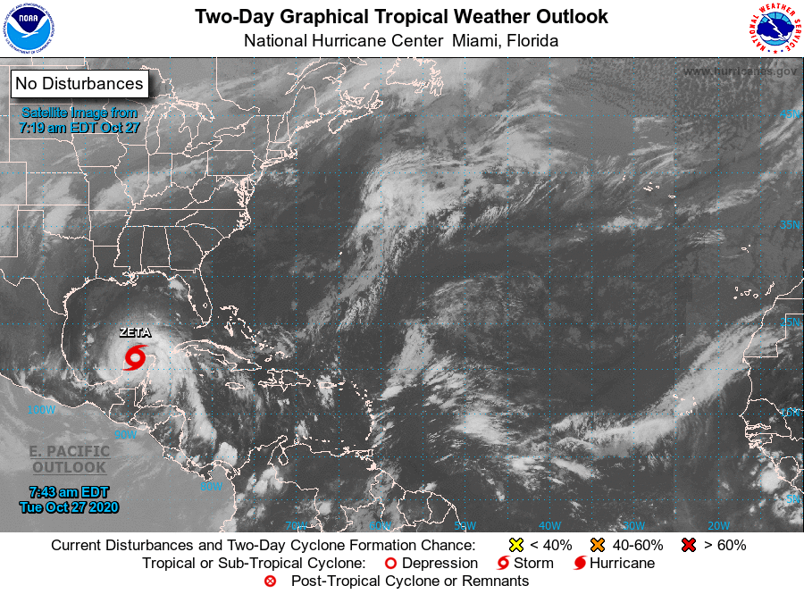
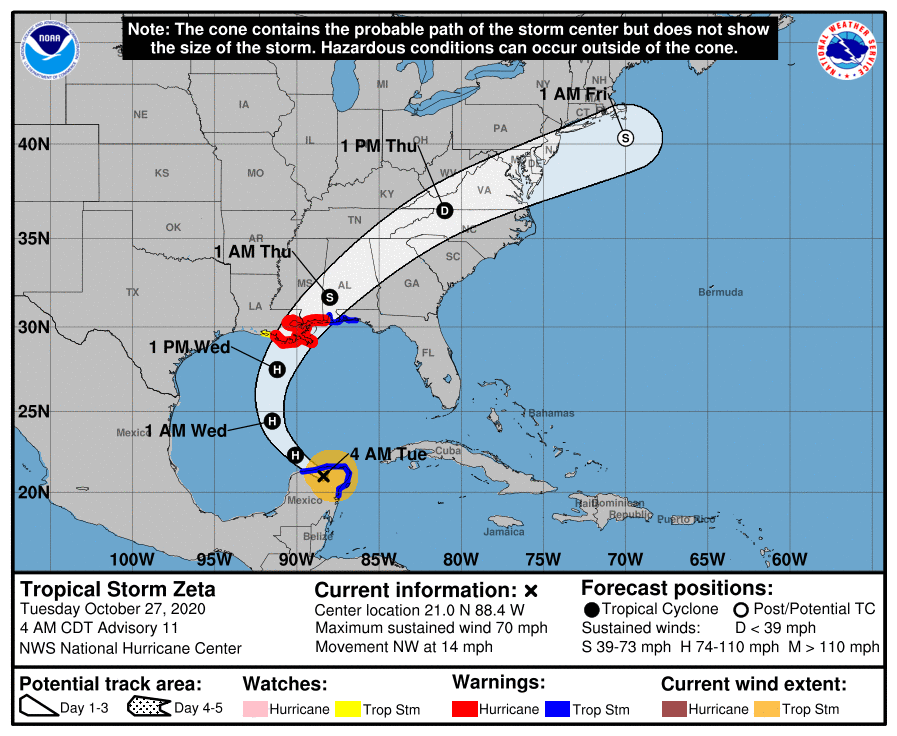
TS Zeta is currently over the Northern Yucatan Peninsula. It made landfall last night as a Cat 1 hurricane near Tulum, Mexico with highest recorded sustained winds on land of 75 mph with a peak gust of near 90 mph. If you look at the water vapor loop below of the Gulf of Mexico you can see that it has weakening significantly since being over land however it should re emerge over the Southern Gulf of Mexico soon and re-intensification back to a Cat 1 hurricane is forecast. Winds will likely be in the 65-75 mph range at landfall along the Northern Gulf Coast late tomorrow night.
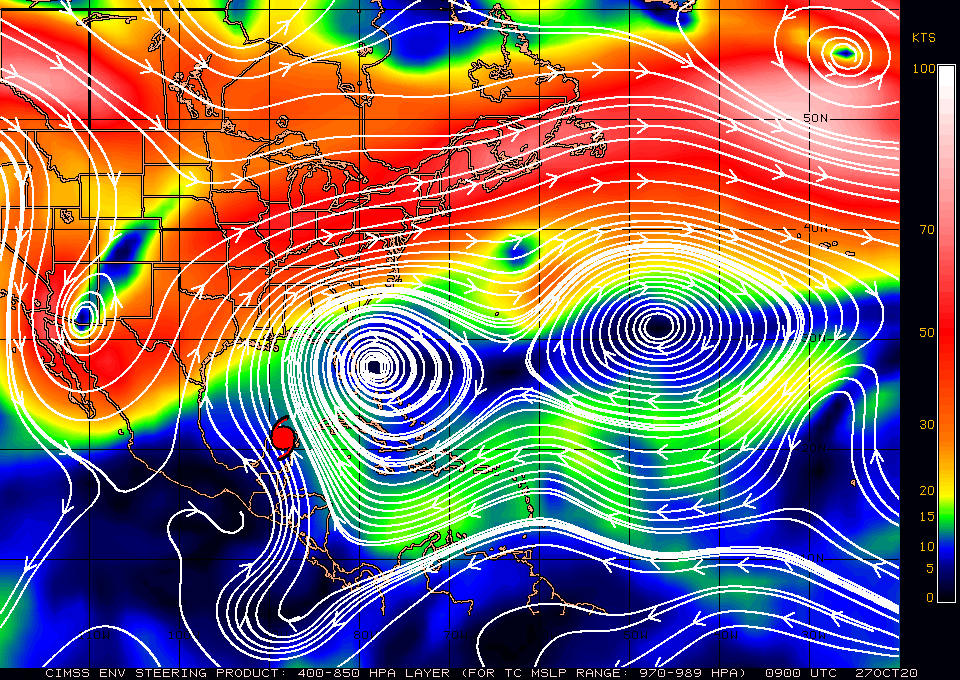
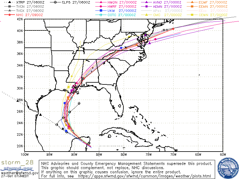
If you look at the surface map below you can see that high pressure over Florida has strengthen significantly and in accordance with that the models have come into strong agreement. It should be moving fairly quickly probably around 20 mph at landfall and after landfall should accelerate rapidly to the NE. I am currently in NC and it should pass directly over me as a Tropical Depression at around 12:30 pm on Thursday. It should be primarily a rain event here, however due to its rapid motion, probably over 40 mph, rainfall shouldn't be excessive, (? 1-3").
Elsewhere all is good and our La Nina continues, this is why 2020 has been such an active season. It is forecast to continue likely into spring which should lead to a warmer, dryer winter for the SE US and a wetter, cooler winter for the northern portions of the country with more polar fronts. Just how long it persists will be key to next years season. Most likely we'll have neutral ENSO conditions in the summer and fall of 2021 which should lead to an average season next year, but we'll have to see.
Until next time,
Matt.


