Good morning.
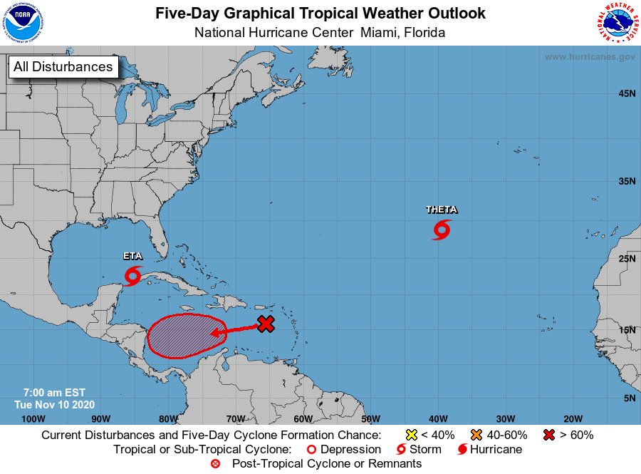
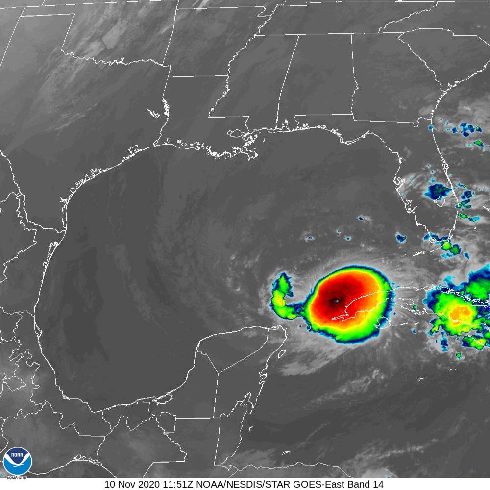
The record 2020, La Nina, Hurricane Season continues. TS Eta is currently located just off the western tip of Cuba and is moving slowly southward. It is expected to reverse course and start moving northward later today. It continues to defy the models and move off its expected course. This is due to weak steering forces at present and a times throughout its course across the Caribbean, Florida Straits and Gulf of Mexico. It really has had a meandering and prolonged track moving from the central Caribbean to Nicaragua and Honduras, to right off the coast of Belize, to Central Cuba, to the Florida Keys and now back to the western tip of Cuba. It is surrounded by dry air and is expected to slowly drift north and make landfall as a tropical depression on Sunday along the Florida Panhandle. Who knows it may even make a trip to Louisiana to join all the others who've gone there this year. It should primarily be a rain event.
Rainfall at my house this past week largely due to Eta totaled 11.14" with most of it falling on Saturday night and early Sunday morning.
TS Theta is heading toward Portugal and poses no threat to the US.
The newest system (potentially TS Iota) is in the eastern Caribbean and is forecast to head on a similar course as Eta towards Nicaragua. Usually systems that go to Central America dissipate there in the mountains. Hopefully it won't regenerate as Eta did, but that would be a long shot. We'll see.
If you look at the next to last diagram, Heat Content, you will see that the last specks of heat left in the Atlantic Basin are in the Caribbean, and just off the western tip of Cuba. Its amazing how nature finds them. Tropical systems are the way the earth transfers heat from the tropics to the poles. The earth doesn't like excess heat build ups and works to balance things out.
Hopefully this will be it ???
Until next time,
Matt.