Good afternoon.
I'm writing about a couple of areas of disturbed weather neither of which pose a threat to Florida at this time.
The first is located in the Florida Straits and is associated with the shower activity which we are experiencing this afternoon in South Florida. It is currently heading towards eastern Texas, see surface map below.
The second is located in the Southern Atlantic and will probably become a tropical depression later today or tomorrow. It will likely threaten Barbados, Grenada, the Southern Caribbean and Central America (Nicaragua- Belize).
Both are in areas of low shear and development is likely of both systems.
High pressure east of Florida should protect the state.
I'll be keeping an eye on both of them and will keep you posted as things develop.
Until next time,
Matt.
PS. Note the abundant dry air and dust in the Eastern and Central Tropical Atlantic, last diagram. This should prevent much development north of 10 degrees, which is good news for now.
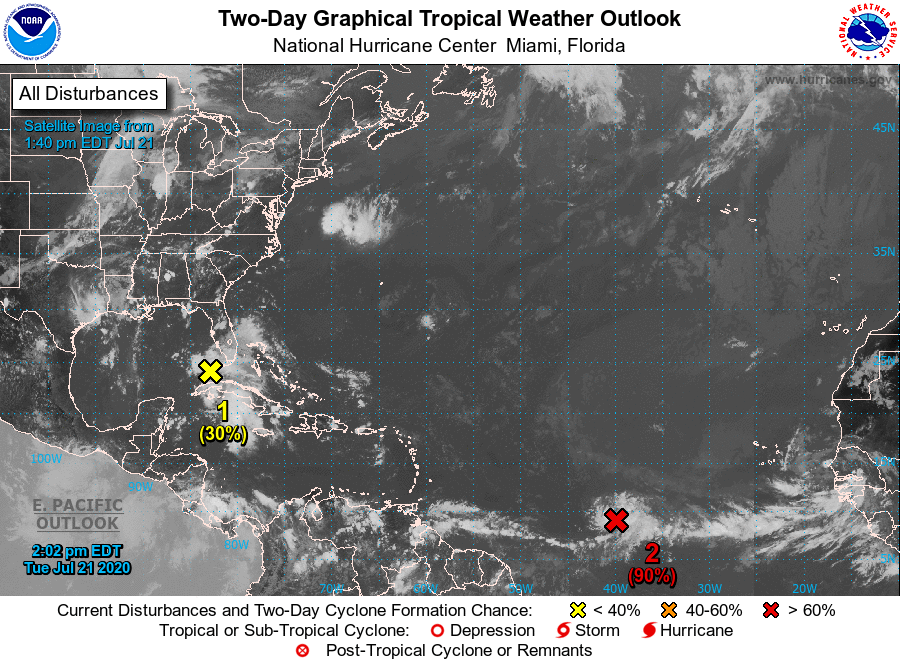
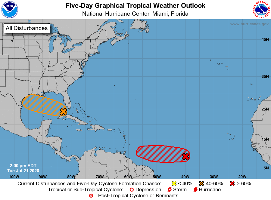