Good evening.
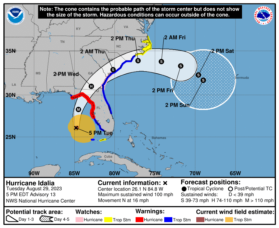
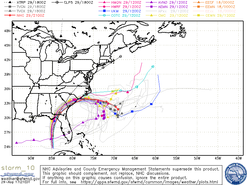
At 5 pm H. Idalia continues to head due north, now at 16 mph with maximum sustained winds of 100 mph. Pressures have been falling and Idalia has been steadily strengthening all day, as anticipated in this mornings forecast. The frontal system to its north has not changed location at all since this morning and as a result the NHC's and the model's tracks have shifted about 25 miles to the west and are now in pretty much agreement with my track. It could become a close call for Tallahassee though on the current NHC track it should avoid hurricane conditions, but that could change. There is nothing else out there to change its course. It should continue to strengthen overnight and increase its forward speed. My current track takes it between Steinhatchee and Crawfordville, centered near Hampton Springs and Perry Florida. This is one of the least populated areas on the Florida West Coast.
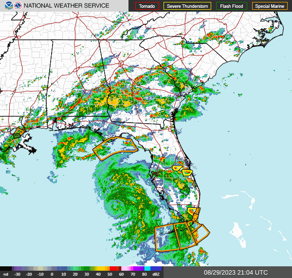
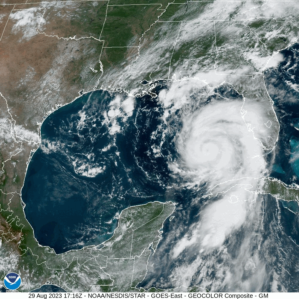
It is currently west of Ft Lauderdale and is now moving away from South Florida. If you look at the current visible satellite loop below you can see a tiny eye starting to form. Distinct eye usually form when winds get to around 100 mph. It appears to be only about 10-15 miles wide, consistent with the rapid intensification which it is undergoing. It should become more distinct very soon.
The current forecast advisory projects hurricane force winds to extend 25 miles to the east of the center and 15 miles to the west. It should remains a tight storm.
I'll write again early tomorrow morning.
Until then,
Matt.