Good morning.
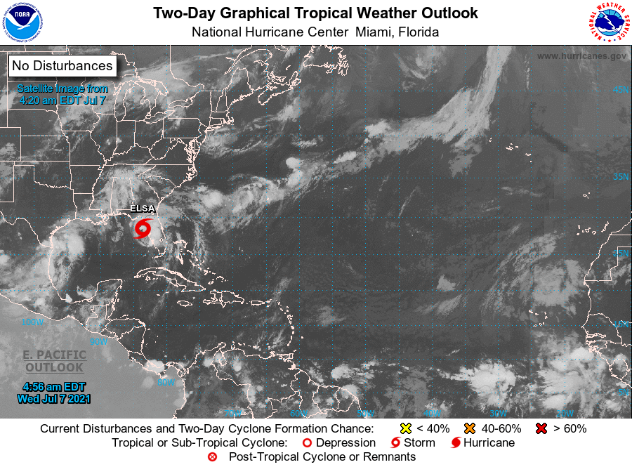
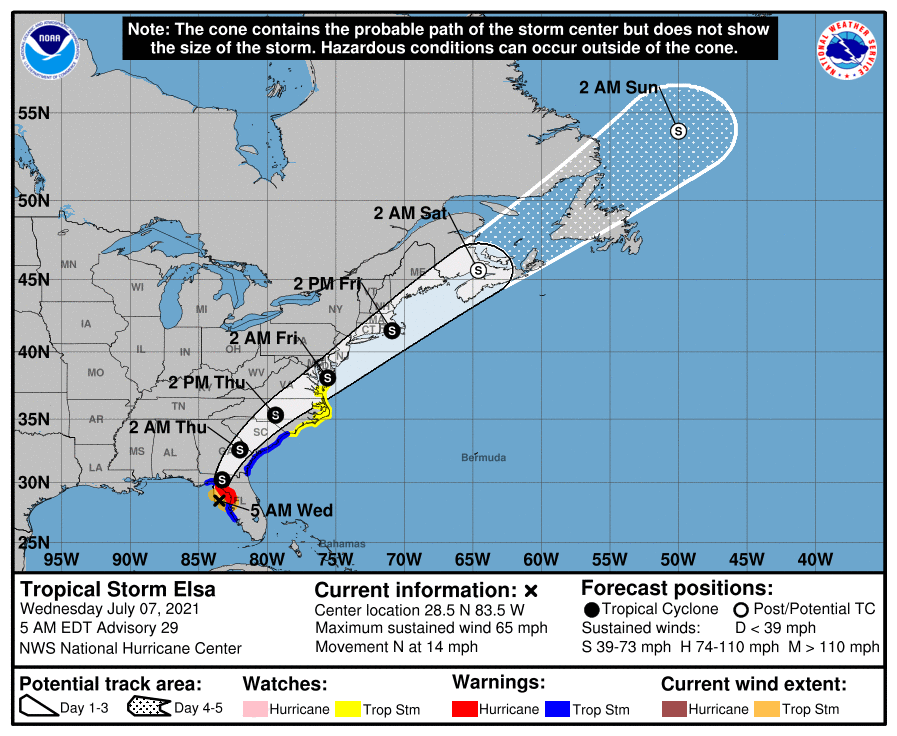
TS Elsa is currently just west of Cedar Key FL and should be making landfall in the Big Bend of Florida this morning. Elsa briefly regained hurricane status yesterday evening however due to shear, dry air entrapment, its proximity to land and the shallow waters of the Gulf it has weakened. The NHC put peak wind generously at 65 mph at 5 am despite a central pressure of 1004 mbs. It will most likely come in as a 50-60 mph tropical storm. The main effects will and have been heavy rainfall along the West Coast of Florida.
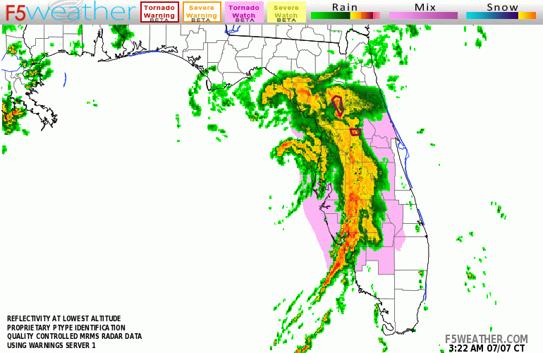
If you look at the radar image below you will see that there is little weather on the west side of the storm. Once ashore it should weaken fairly quickly being a weak system to begin with.
This will be my last update on Elsa. Fortunately another miss for SE Florida.
Until next time,
Matt.
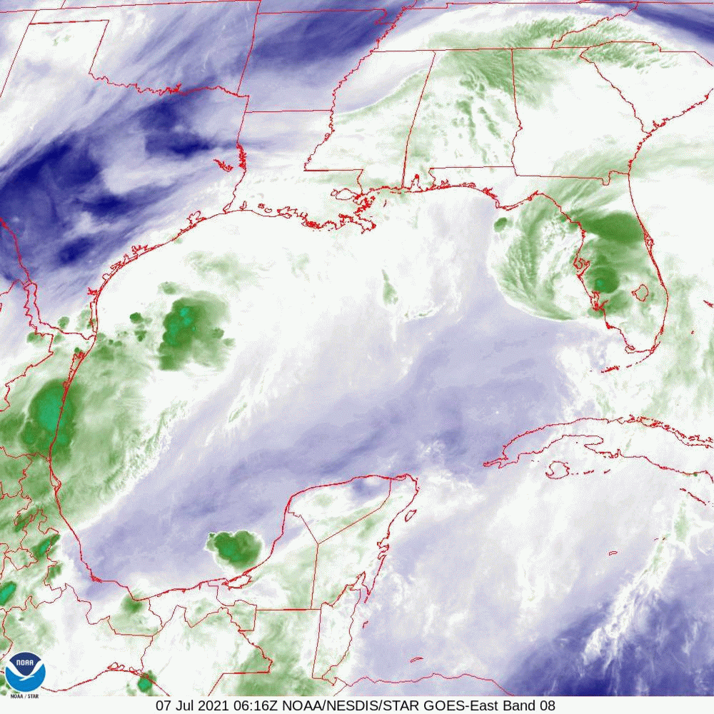
TS Elsa is currently just west of Cedar Key FL and should be making landfall in the Big Bend of Florida this morning. Elsa briefly regained hurricane status yesterday evening however due to shear, dry air entrapment, its proximity to land and the shallow waters of the Gulf it has weakened. The NHC put peak wind generously at 65 mph at 5 am despite a central pressure of 1004 mbs. It will most likely come in as a 50-60 mph tropical storm. The main effects will and have been heavy rainfall along the West Coast of Florida.
If you look at the radar image below you will see that there is little weather on the west side of the storm. Once ashore it should weaken fairly quickly being a weak system to begin with.
This will be my last update on Elsa. Fortunately another miss for SE Florida.
Until next time,
Matt.