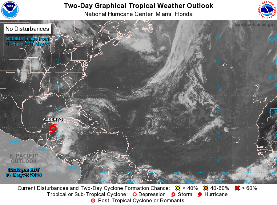
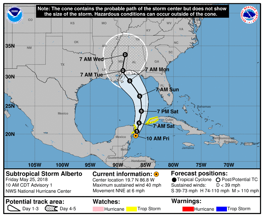
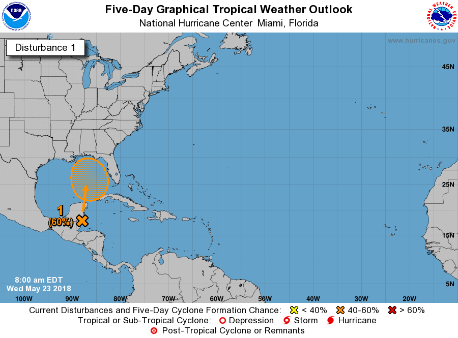
Good morning.
At 5 am Hurricane Irma was located at 17.9 N and 62.6 W and was moving WNW @16 mph with a barometric pressure of 914 mbs and peak winds of 185 mph. Irma remains a very strong Cat 5 hurricane. Since yesterday there has been a significant change in the forecast track of Irma. If you look at the Surface Map below you will see a trough digging deep into the SE US. This appears to be stronger than anticipated and may be our White Knight. Almost all of the models have shifted significantly to the east because of this. (see third diagram below) The NHC has shifted its track to a worst case scenario track for South Florida however it is well west of the model consensus and lies between yesterday's consensus and today's, being on the conservative side. If this trough continues to push southward and remain strong a recurvature before it reached Florida, east of the Peninsula, would become more likely.
Due to significant shear over Florida when it is in our area it will no longer be a symmetric storm as it is now. The Forecast Advisory when it is in our area currently projects hurricane force winds to extend 50 miles to the east of the center and 40 to the west, strong storm force winds to extend 90 miles to the east and 60 to the west and weak storm force winds to extend 180 to the east and 100 miles to the west of the center. In addition to experience extreme winds over 100 mph it would need to pass within 25-30 miles of you. Note at 4 days out the average error in NHC forecasts is almost 200 miles and expect the tracks to continue to fluctuate. The current risk for hurricane conditions in South Florida is about 30%.
If the trend above continues my new track takes Irma over the northern coast of Puerto Rico today, then along the northern coast of Hispaniola and Eastern Cuba before turning to the NW and N near Andros Island and Grand Bahama. Once it gets north of South Florida shear will increase and it should weaken and accelerate to the N and NE.
Elsewhere Jose and Katia currently do not appear to pose a threat to the US. (see below)
Hoping the eastward trend continues and maybe moves further east,
Matt.