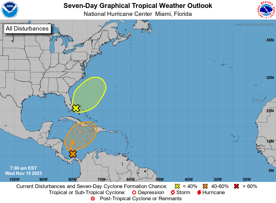
Good afternoon.
Just a quick update.
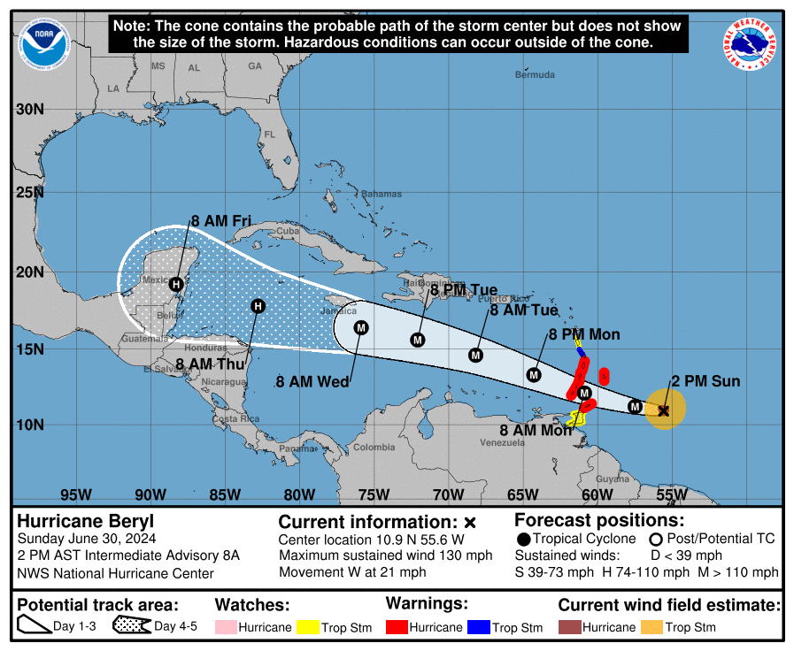
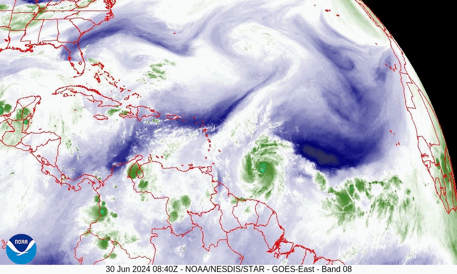
Hurricane Beryl has been undergoing rapid intensification the past day and a half and as of 2 PM attained Cat 4 status. After entering the Caribbean it should encounter shear and is expected to decrease back to a Cat 3 Tuesday and be a Cat 2 at landfall along Yucatan Peninsula on Friday.
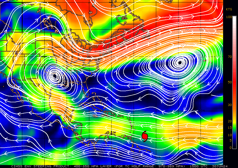
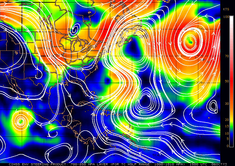
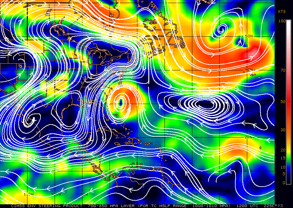
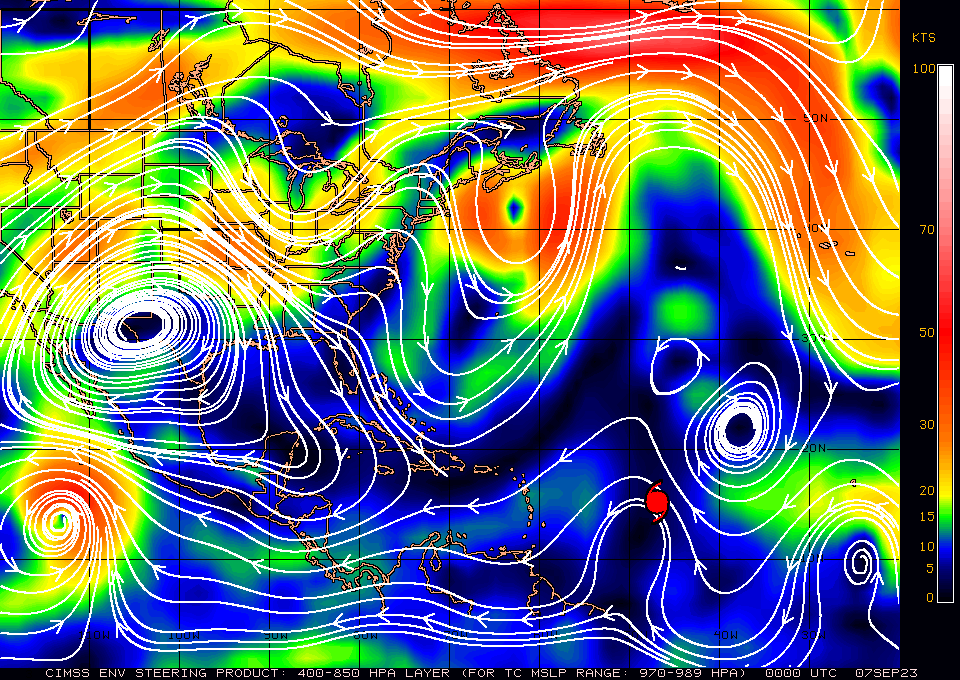
High pressure remains in control over the Western Atlantic, Florida and the Northern Gulf of Mexico.
The bottom line. Beryl is going to Mexico. Beryl is very far south. If it was further north a possible track into the Bahamas would be possible, however it is not. My current track is a little south of the current NHC track and brings Beryl into Northern Belize and from there into mainland Mexico.
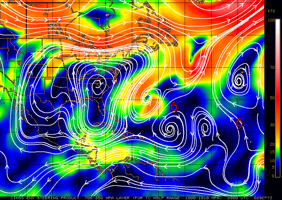
Late in the forecast period we will need to see if high pressure over the Gulf of Mexico moves eastward which could shift the track closer to southern Texas, however that is not currently expected.
Until next time,
Matt.
Just a quick update.
Hurricane Beryl has been undergoing rapid intensification the past day and a half and as of 2 PM attained Cat 4 status. After entering the Caribbean it should encounter shear and is expected to decrease back to a Cat 3 Tuesday and be a Cat 2 at landfall along Yucatan Peninsula on Friday.
High pressure remains in control over the Western Atlantic, Florida and the Northern Gulf of Mexico.
The bottom line. Beryl is going to Mexico. Beryl is very far south. If it was further north a possible track into the Bahamas would be possible, however it is not. My current track is a little south of the current NHC track and brings Beryl into Northern Belize and from there into mainland Mexico.
Late in the forecast period we will need to see if high pressure over the Gulf of Mexico moves eastward which could shift the track closer to southern Texas, however that is not currently expected.
Until next time,
Matt.