Good afternoon.
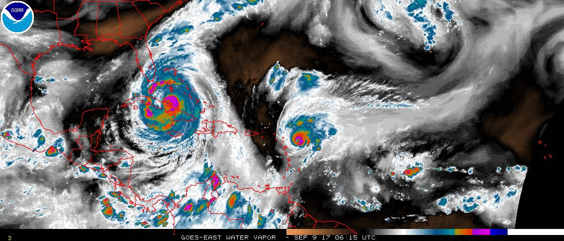
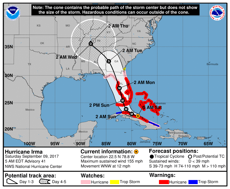
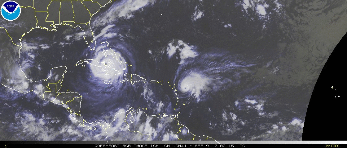
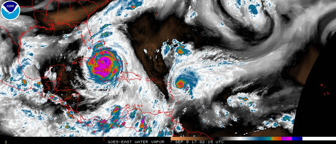
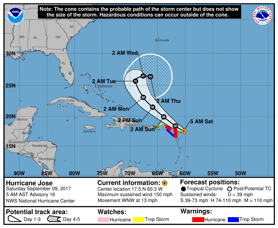
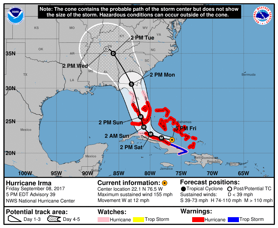
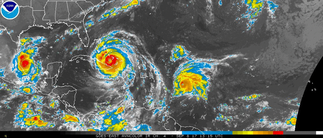
At noon Irma was located at 25.2 N & 81.6 W and was moving N @ 9 mph with 130 mph winds. Irma is moving further east than forecast. This is why Miami-Dade County is now experiencing Cat 1 conditions. The eye wall is going to hit Naples and Ft Myers and then track N towards Tampa. If it gets inland it may weaken before getting to Tampa. Due to significant shear it is currently a very lopsided system with most of the weather to the N and E of the center. Most of the state will experience hurricane conditions. With the more easterly track it will be closest to Miami at about 3 pm, earlier than expected. The next 6 hours will bring the highest winds to Miami-Dade.
It's time to get into your safest rooms for Miami Dade.
Until later. Matt.
to edit.