Good morning.
I'm writing about an area of disturbed weather over the Central Bahamas.
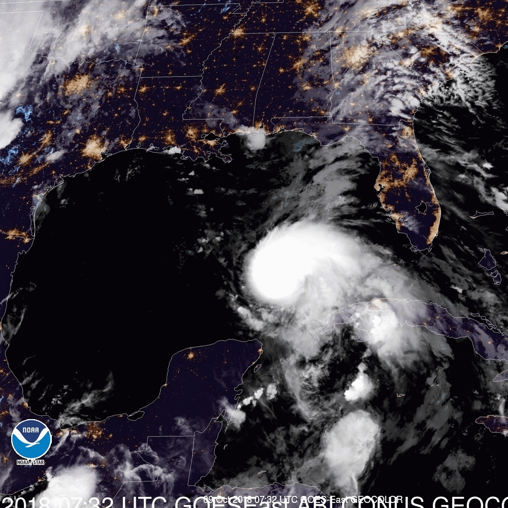
The NHC is currently giving it a 30% chance of tropical development over the next 3 days. It is being caused by a trough of low pressure which is currently in a low shear environment. It is currently drifting NW. On the Surface Map below it is the greeninsh area, As you can see upper level winds should steer it to the NW and eventually N and NW. A frontal system approaching from the west should increase the likelihood of that happening. It currently appears to posse greatest risk to the coastal Carolinas, > for North Carolina, though there is a decent chance it could miss them as well, if it should develop. It currently appears that it should miss the state of Florida.
Elsewhere all is quiet. I'll let you know if things should change,
Matt.
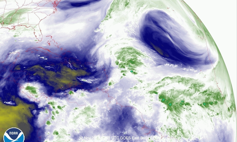
I'm writing about an area of disturbed weather over the Central Bahamas.
The NHC is currently giving it a 30% chance of tropical development over the next 3 days. It is being caused by a trough of low pressure which is currently in a low shear environment. It is currently drifting NW. On the Surface Map below it is the greeninsh area, As you can see upper level winds should steer it to the NW and eventually N and NW. A frontal system approaching from the west should increase the likelihood of that happening. It currently appears to posse greatest risk to the coastal Carolinas, > for North Carolina, though there is a decent chance it could miss them as well, if it should develop. It currently appears that it should miss the state of Florida.
Elsewhere all is quiet. I'll let you know if things should change,
Matt.