Good morning.
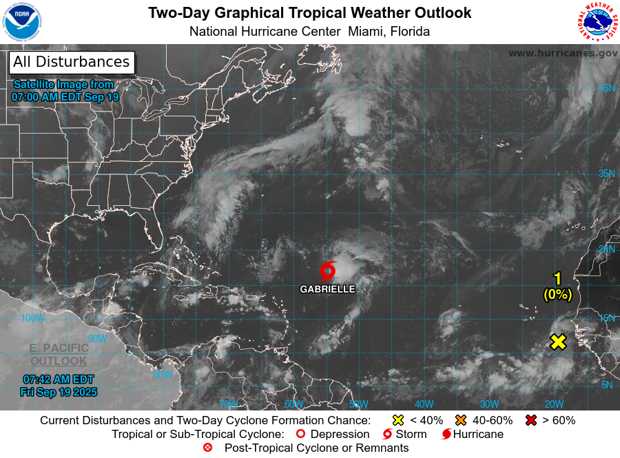
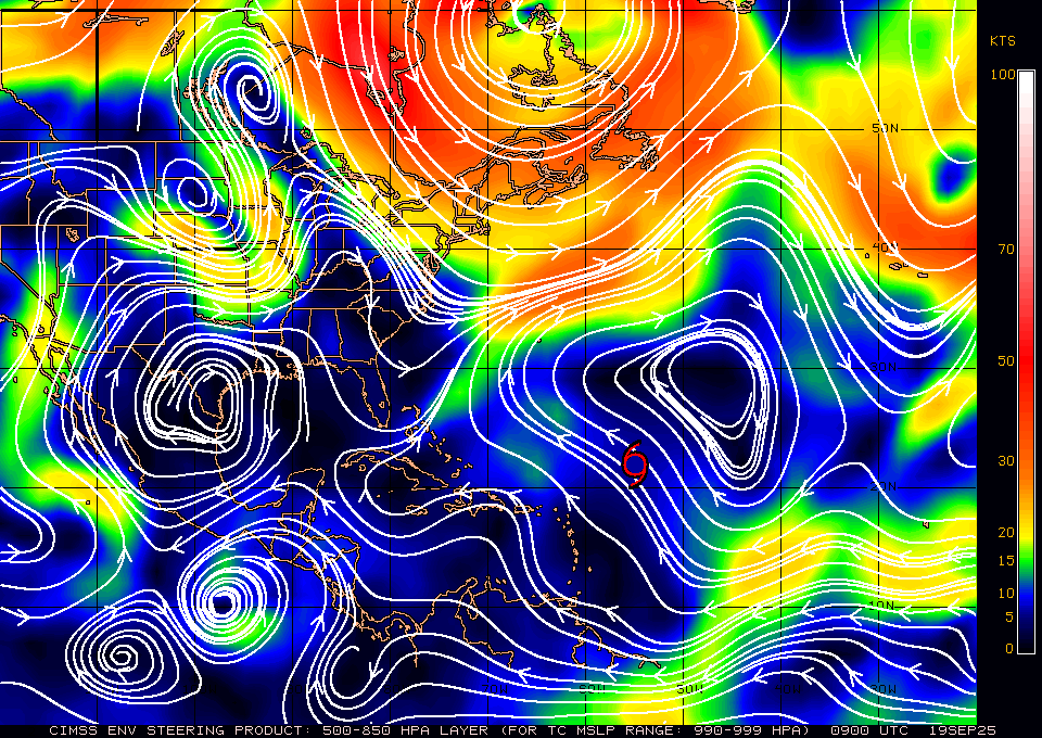
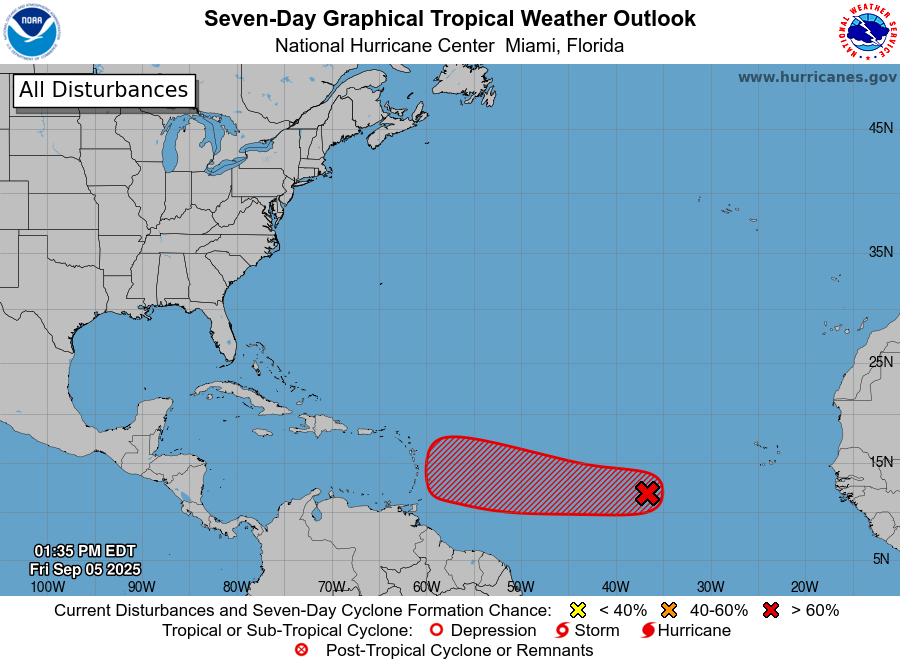
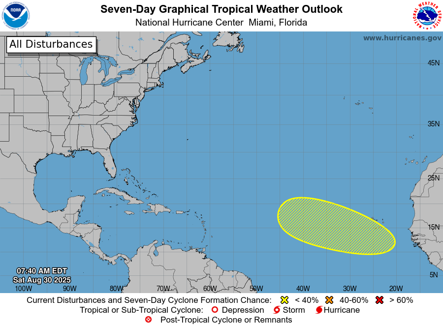
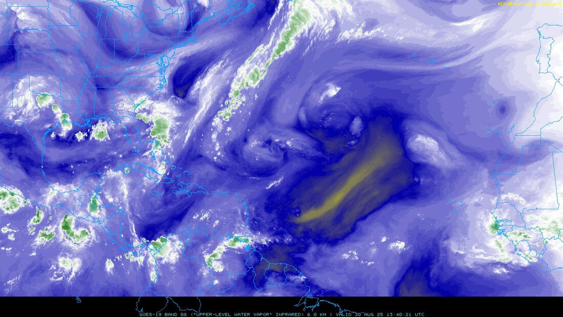
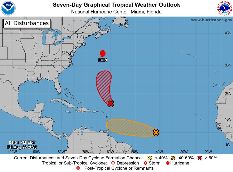
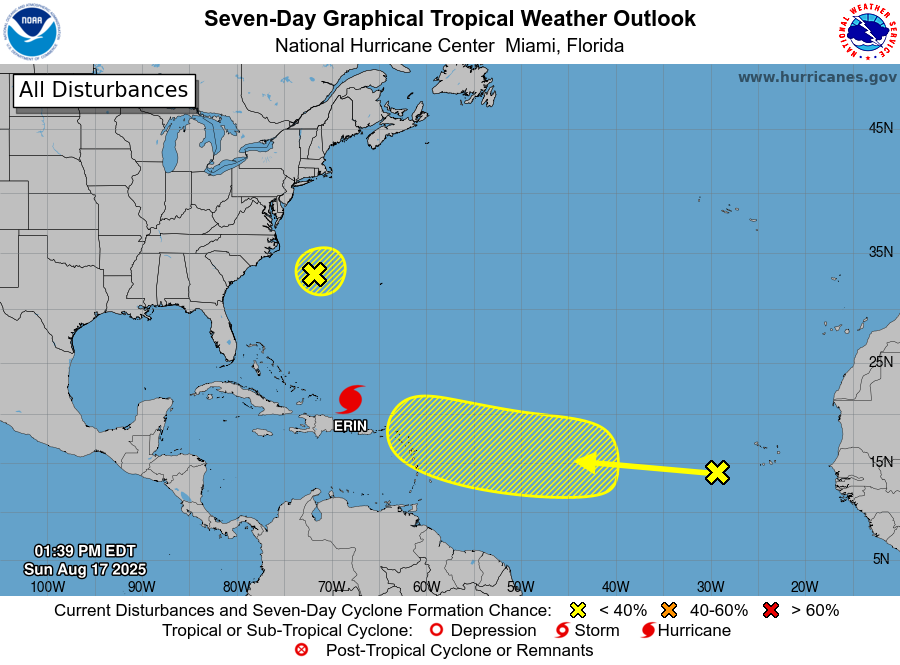
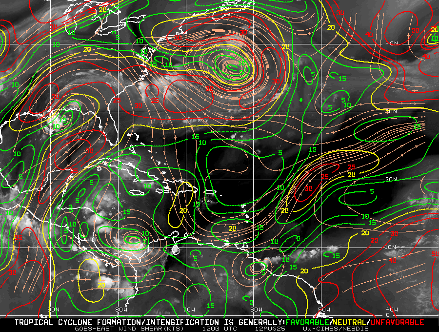
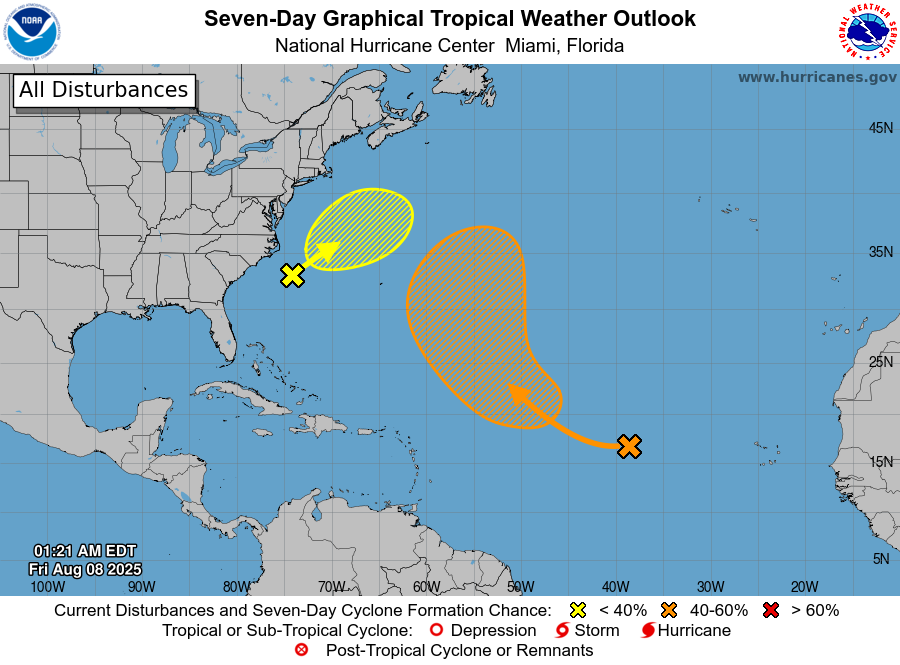
The NHC is tracking a couple of systems out there however neither currently pose a threat to the US. The stalled frontal boundary currently just east of Florida and the SE US has pushed a little eastward.
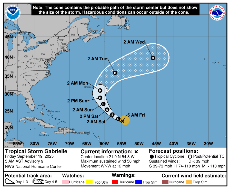
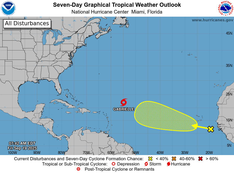
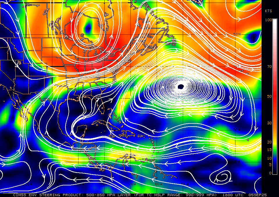
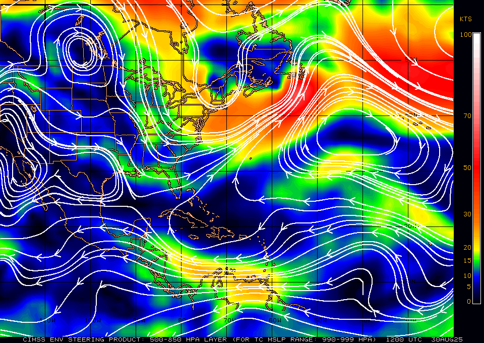
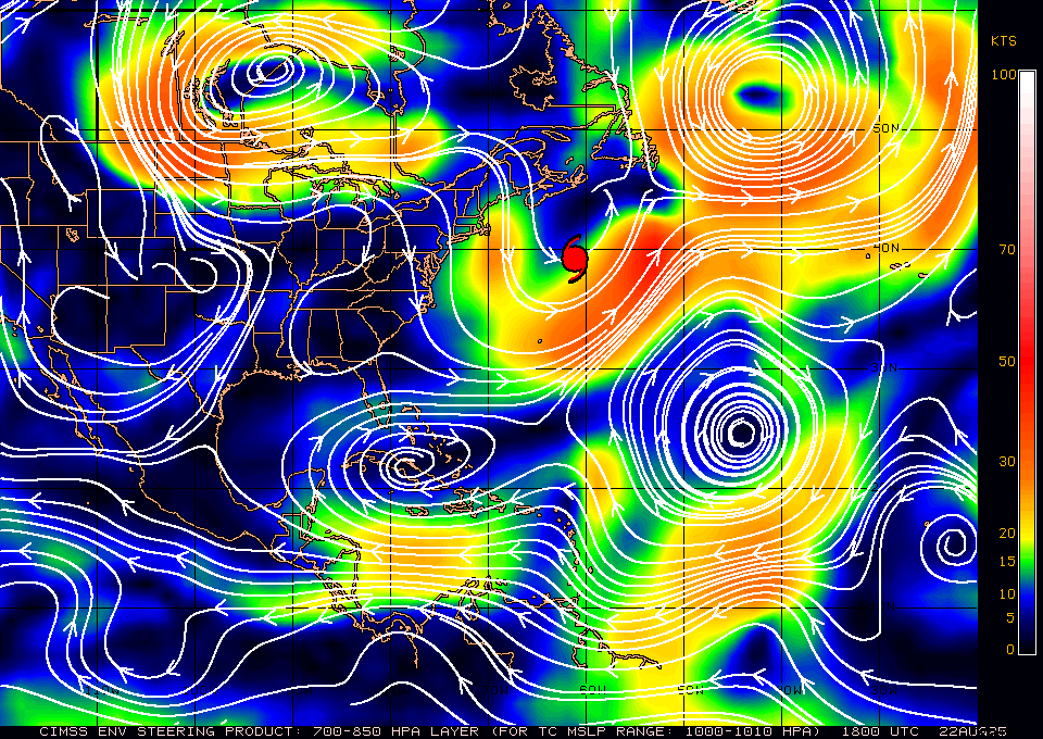
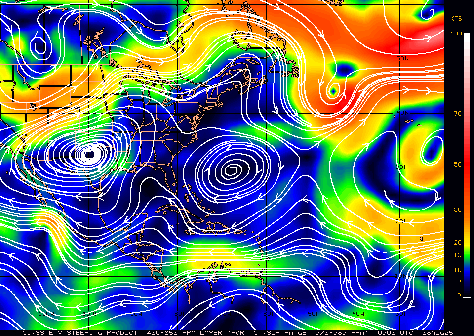
This is the feature which has keep South Florida in a very rainy pattern for the past 3 weeks. This will continue to protect the US. Both Gabrielle and the potential system behind should follow a similar path out to sea.
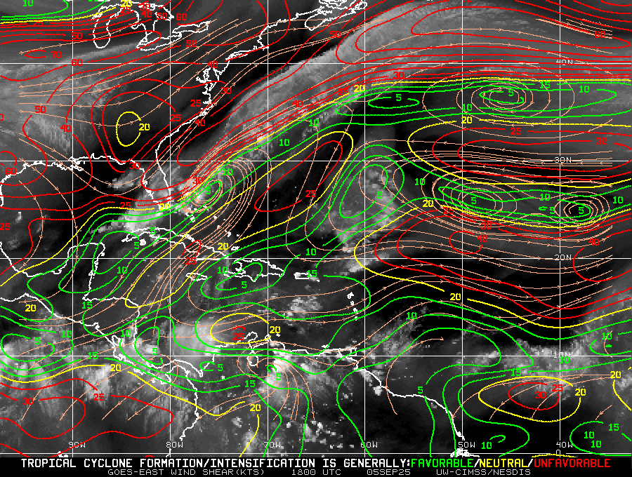
As noted previously I do not anticipate anything of significant for the US until October.
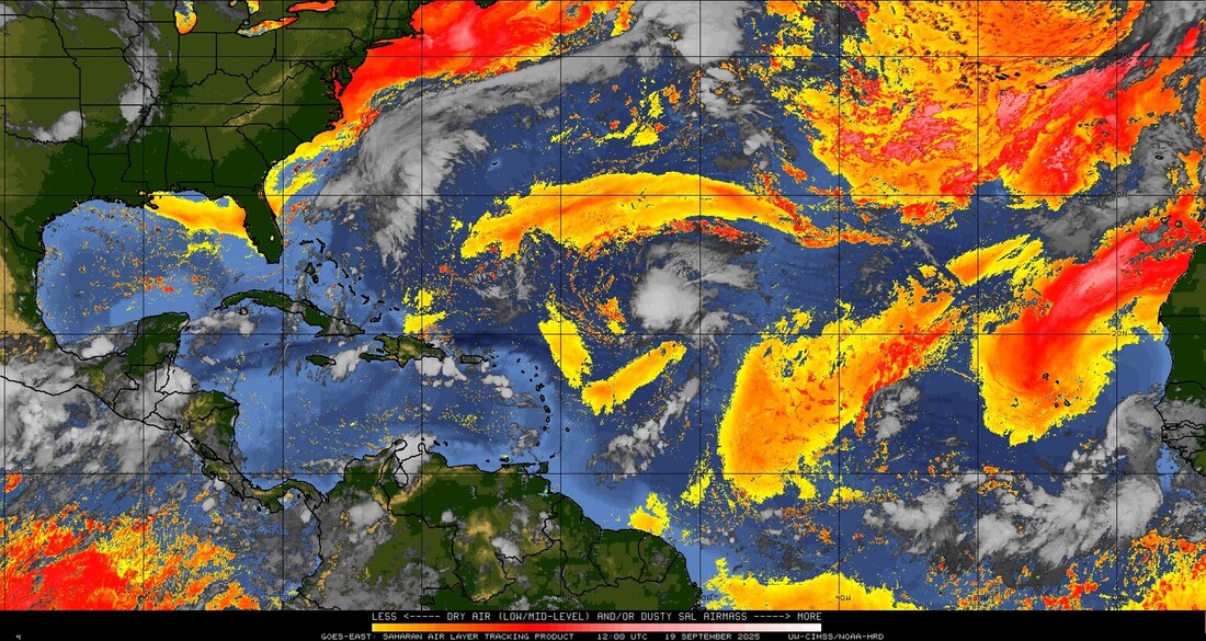
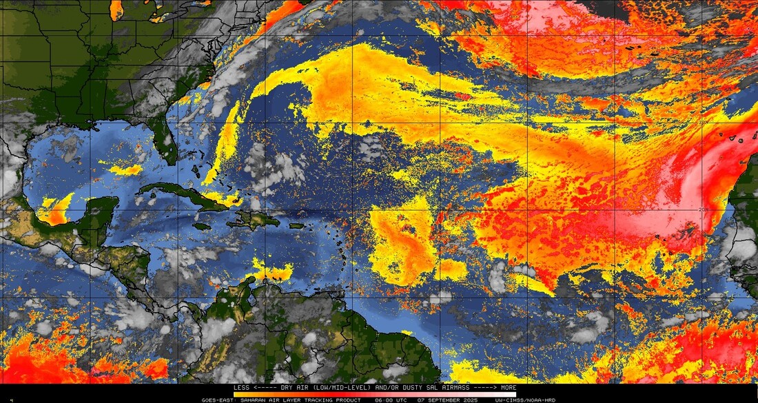
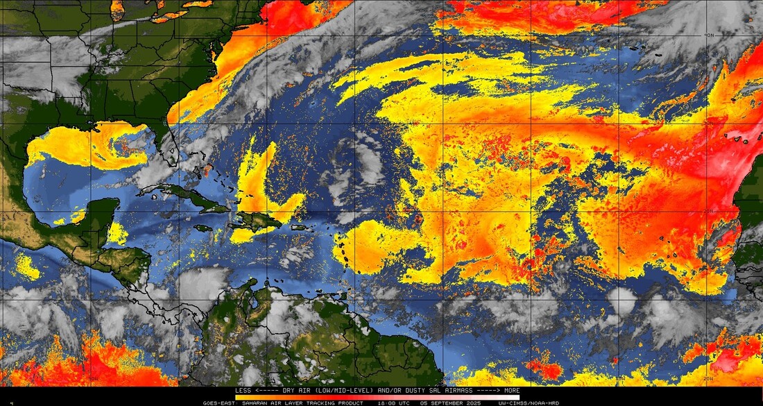
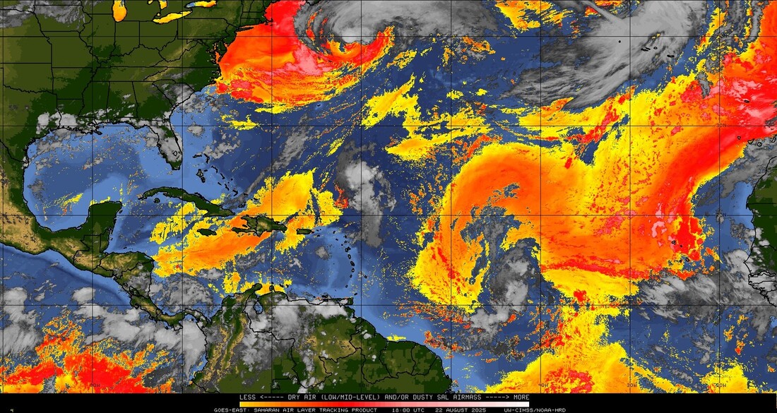
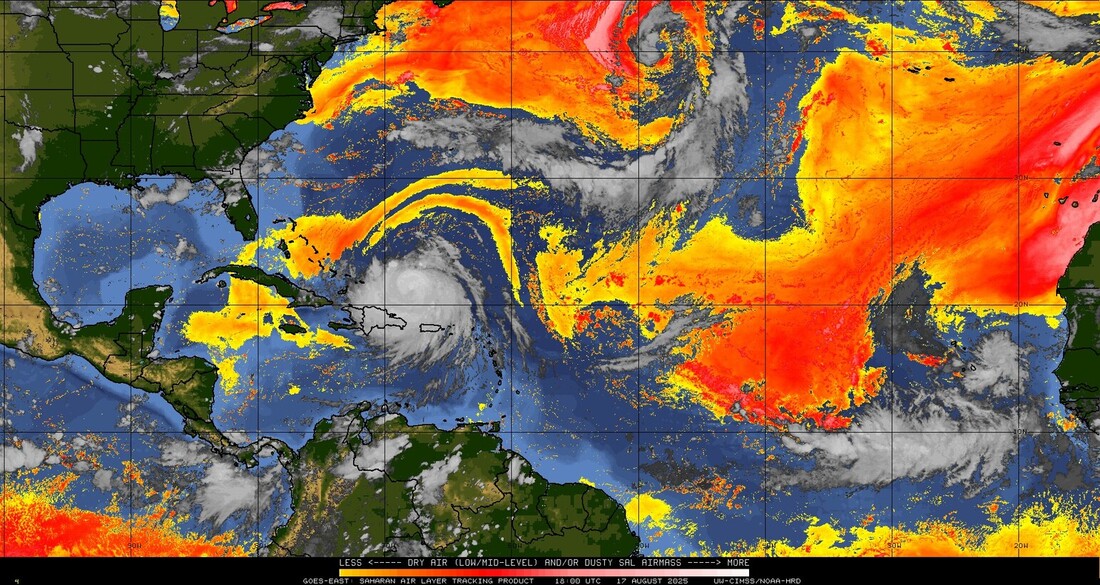
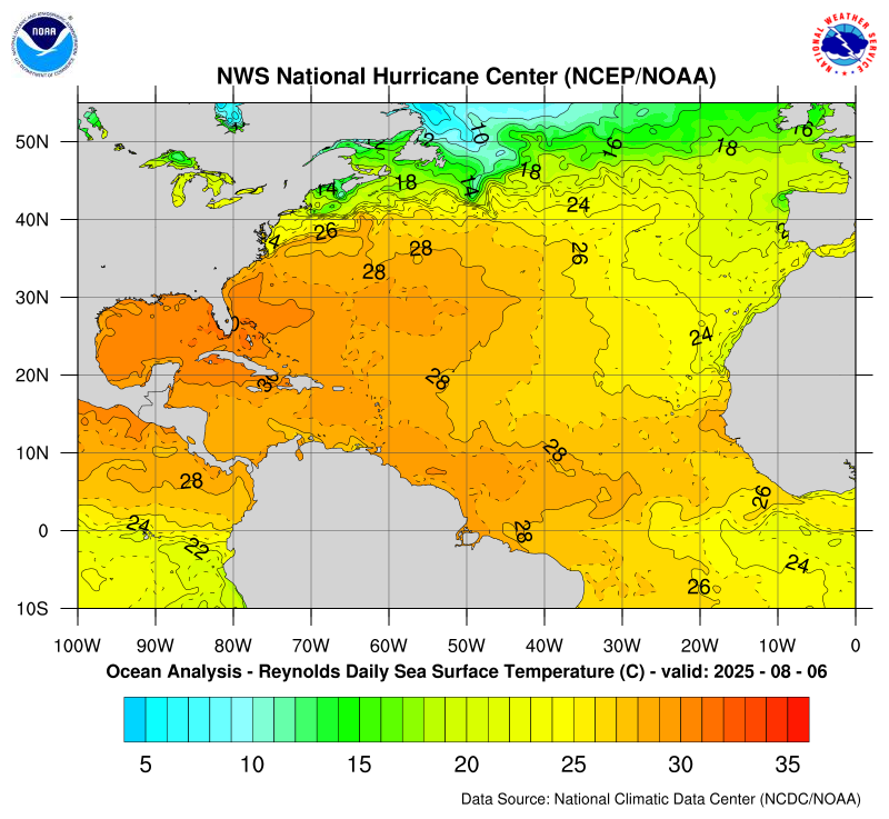
The Saharan dust and dry air are still out there but are becoming more fragmented, however they continue to hamper tropical development.
Until next time,
Matt.
The NHC is tracking a couple of systems out there however neither currently pose a threat to the US. The stalled frontal boundary currently just east of Florida and the SE US has pushed a little eastward.
This is the feature which has keep South Florida in a very rainy pattern for the past 3 weeks. This will continue to protect the US. Both Gabrielle and the potential system behind should follow a similar path out to sea.
As noted previously I do not anticipate anything of significant for the US until October.
The Saharan dust and dry air are still out there but are becoming more fragmented, however they continue to hamper tropical development.
Until next time,
Matt.